


3,5 km | 6,1 km-effort


Gebruiker


Gratisgps-wandelapplicatie
 SityTrail
IGN / Geografische instituten
SityTrail World
De wereld gaat voor u open
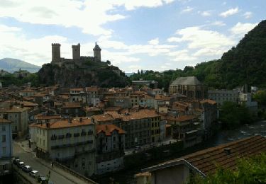
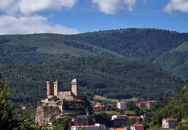
Tocht Paard van 100 km beschikbaar op Occitanië, Ariège, Montgaillard. Deze tocht wordt voorgesteld door Lozère Cheval.
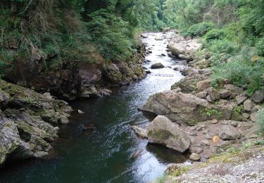
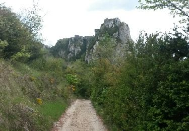
sentier_cathare 001

Stappen
Stappen
Te voet
Stappen
Stappen
Stappen

Fiets
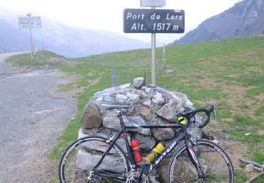
Fiets
Fiets