10,8 km | 11,4 km-effort
mont st michel
a_pascale
Gebruiker
Lengte
16,5 km
Max. hoogte
10 m
Positief hoogteverschil
60 m
Km-Effort
17,3 km
Min. hoogte
3 m
Negatief hoogteverschil
60 m
Boucle
Ja
Datum van aanmaak :
2022-05-21 13:47:50.06
Laatste wijziging :
2022-05-21 16:46:32.722
2h57
Moeilijkheid : Moeilijk
Gratisgps-wandelapplicatie
Over ons
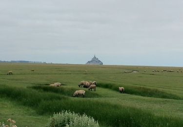
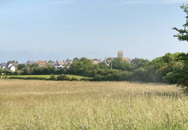
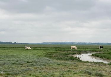
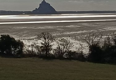
Tocht Stappen van 16,5 km beschikbaar op Normandië, Manche, Courtils. Deze tocht wordt voorgesteld door a_pascale.
Plaatsbepaling
Land:
France
Regio :
Normandië
Departement/Provincie :
Manche
Gemeente :
Courtils
Locatie:
Unknown
Vertrek:(Dec)
Vertrek:(UTM)
615960 ; 5388250 (30U) N.
Opmerkingen
Wandeltochten in de omgeving
La roche taurin Mont st michel
Stappen
Gemakkelijk
(1)
Courtils,
Normandië,
Manche,
France
3h 52min
Neen
Mont-St-Michel - 14km 64m 4h30 - 2017 06 26
Stappen
Gemakkelijk
Huisnes-sur-Mer,
Normandië,
Manche,
France
14 km | 15 km-effort
4h 30min
Ja
Le Grouin du Sud
Stappen
Gemakkelijk
Vains,
Normandië,
Manche,
France
5,3 km | 6,1 km-effort
1h 30min
Ja
Le Mont saint Michel
Stappen
Gemakkelijk
Pontorson,
Normandië,
Manche,
France
10 km | 10,5 km-effort
2h 47min
Ja
La Roche Torin - le bas courtils
Stappen
Gemakkelijk
Courtils,
Normandië,
Manche,
France
11 km | 11,9 km-effort
3h 5min
Ja
Pointe du Grouin Sud - Marcey les Grèves
Stappen
Gemakkelijk
Vains,
Normandië,
Manche,
France
11,8 km | 12,5 km-effort
3h 21min
Ja
groin du Sud dragey en alle retour par les greves
Lopen
Heel gemakkelijk
Vains,
Normandië,
Manche,
France
16,8 km | 17,8 km-effort
1h 40min
Ja
J4 - Pontorson - Saint-Hilaire - 40 km
Fietstoerisme
Zeer moeilijk
Pontorson,
Normandië,
Manche,
France
39 km | 43 km-effort
Onbekend
Neen
pointe du grouin du sud
Stappen
Medium
(1)
Vains,
Normandië,
Manche,
France
7 km | 7,7 km-effort
2h 1min
Ja