Tocht Mountainbike Railleu - la couillue - Photo
 fine66
fine66

Gebruiker

© OpenStreetMap contributors
Lengte
Lengte
34 km
Max. hoogte
Max. hoogte
2452 m
Positief hoogteverschil
956 m
Km-Effort
Km-Effort  
50 km
Min. hoogte
Min. hoogte
626 m
Negatief hoogteverschil
2046 m
Boucle
Boucle
Neen
Datum van aanmaak :
2014-12-10 00:00:00.0
Laatste wijziging :
2014-12-10 00:00:00.0

(1 Bericht)

Mountainbike
Mountainbike
5h31
Moeilijkheid : Zeer moeilijk

Scan deze QR-code om de tocht te openen in de SityTrail-applicatie

Gratisgps-wandelapplicatie

Logo SityTrail SityTrail

IGN / Geografische instituten

SityTrail uit de App Store downloaden SityTrail uit Google Play downloaden

Logo SityTrail SityTrail World

De wereld gaat voor u open

SityTrail uit de App Store downloaden SityTrail uit Google Play downloaden SityTrail op Huawei AppGallery downloaden

Over ons

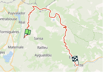
Tocht Mountainbike van 34 km beschikbaar op Occitanië, Pyrénées-Orientales, Railleu. Deze tocht wordt voorgesteld door fine66.
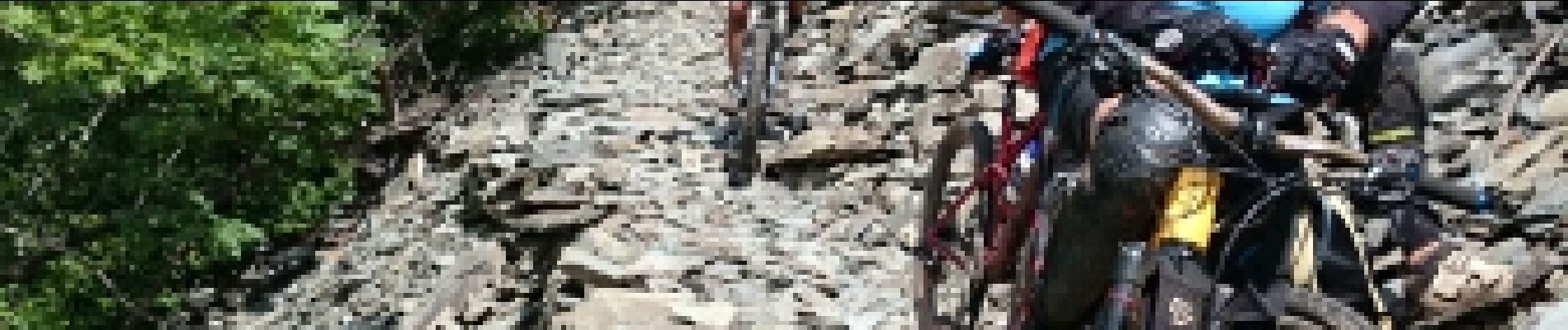
Beschrijving

un truc de malade

Hoogteprofiel

Foto's

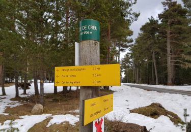
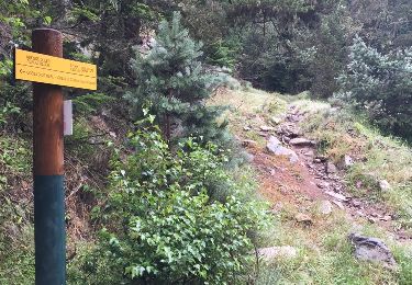
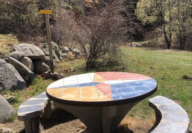
25 fotos in totaal. Klik op een foto om ze allemaal in de galerij weer te geven.

POI's

POI Nohèdes - Point 23 - Photo
fine66
NOHÈDES 

Plaatsbepaling

Land:
France
Regio :
Occitanië
Departement/Provincie :
Pyrénées-Orientales
Gemeente :
Railleu
Locatie:
Unknown
Vertrek:(Dec)
Vertrek:(UTM)
429287 ; 4717030 (31T) N.

Opmerkingen

Gelieve in te loggen om een commentaar of een beoordeling achter te laten


terrible


Wandeltochten in de omgeving

Tocht Sneeuwschoenen Réal - madres - Photo
Sneeuwschoenen
mongo

Sneeuwschoenen

Moeilijk
(1)
Réal, Occitanië, Pyrénées-Orientales, France
13,1 km | 26 km-effort
6h 48min
Ja
Tocht Stappen Railleu - 20230312 Boucle depuis Railleu  - Photo
Stappen
ThonyM

Stappen

Medium
Railleu, Occitanië, Pyrénées-Orientales, France
15,8 km | 25 km-effort
4h 27min
Ja
Tocht Stappen Formiguères - 20210710 pla del bosc - Foumigueres - Photo
Stappen
ThonyM

Stappen

Gemakkelijk
Formiguères, Occitanië, Pyrénées-Orientales, France
12,5 km | 18,3 km-effort
2h 47min
Ja
Tocht Sneeuwschoenen Formiguères - Formigueres el collet  - Photo
Sneeuwschoenen
GUIDE
antignacs

Sneeuwschoenen

Heel gemakkelijk
Formiguères, Occitanië, Pyrénées-Orientales, France
6,4 km | 8,7 km-effort
2h 47min
Ja
Tocht Sneeuwschoenen Matemale - Tour lac mattemale neige  - Photo
Sneeuwschoenen
GUIDE
antignacs

Sneeuwschoenen

Heel gemakkelijk
Matemale, Occitanië, Pyrénées-Orientales, France
9,1 km | 10,4 km-effort
3h 5min
Ja
Tocht Sneeuwschoenen Railleu - Maximale Col de Creu - Photo
Sneeuwschoenen
MarieFrancoise

Sneeuwschoenen

Medium
Railleu, Occitanië, Pyrénées-Orientales, France
16,7 km | 26 km-effort
4h 55min
Neen
Tocht Stappen Réal - Madres depuis Odeillo-Real - Photo
Stappen
ThonyM

Stappen

Medium
Réal, Occitanië, Pyrénées-Orientales, France
18,1 km | 32 km-effort
6h 10min
Ja
Tocht Sneeuwschoenen Réal - PIC MADRES - Photo
Sneeuwschoenen
PVERTICAL

Sneeuwschoenen

Moeilijk
Réal, Occitanië, Pyrénées-Orientales, France
13,1 km | 26 km-effort
6h 48min
Ja
Tocht Stappen Railleu - 20230325 autre parcours sympa depuis Railleu - Photo
Stappen
ThonyM

Stappen

Medium
Railleu, Occitanië, Pyrénées-Orientales, France
17,8 km | 30 km-effort
5h 4min
Ja


Sluiten
Mijn abonnementen