Tocht Stappen Belforêt-en-Perche - chemin chêne école fourneaux  - Photo

chemin chêne école fourneaux

 Krissray
Krissray

Gebruiker

© OpenStreetMap contributors
Lengte
Lengte
3,4 km
Max. hoogte
Max. hoogte
217 m
Positief hoogteverschil
96 m
Km-Effort
Km-Effort  
4,7 km
Min. hoogte
Min. hoogte
138 m
Negatief hoogteverschil
93 m
Boucle
Boucle
Ja
Datum van aanmaak :
2022-08-12 07:38:30.704
Laatste wijziging :
2022-08-12 08:38:25.018

(1 Bericht)

Stappen
Stappen
57m
Moeilijkheid : Gemakkelijk

Scan deze QR-code om de tocht te openen in de SityTrail-applicatie

Gratisgps-wandelapplicatie

Logo SityTrail SityTrail

IGN / Geografische instituten

SityTrail uit de App Store downloaden SityTrail uit Google Play downloaden

Logo SityTrail SityTrail World

De wereld gaat voor u open

SityTrail uit de App Store downloaden SityTrail uit Google Play downloaden SityTrail op Huawei AppGallery downloaden

Over ons

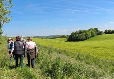
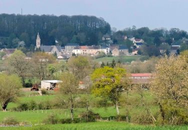
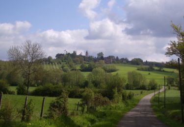
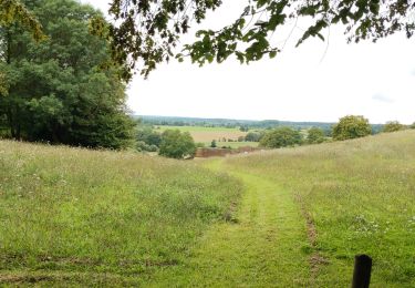
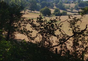
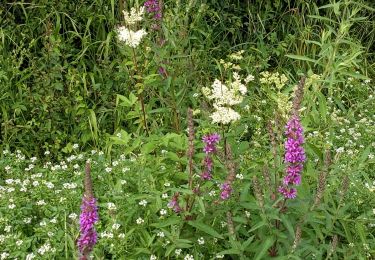
Tocht Stappen van 3,4 km beschikbaar op Normandië, Orne, Belforêt-en-Perche. Deze tocht wordt voorgesteld door Krissray.

Beschrijving

chêne école diago droite descente fourneaux droite chemin à gauche coteau retou

Hoogteprofiel

Plaatsbepaling

Land:
France
Regio :
Normandië
Departement/Provincie :
Orne
Gemeente :
Belforêt-en-Perche
Locatie:
Origny-le-Butin
Vertrek:(UTM)
312536 ; 5361720 (31U) N.

Opmerkingen

Gelieve in te loggen om een commentaar of een beoordeling achter te laten


pas fait exprès !!!


Wandeltochten in de omgeving

Tocht Stappen Belforêt-en-Perche - La Perrière, forêt et village - Photo
Stappen
jeannine grandjean

Stappen

Moeilijk
Belforêt-en-Perche, Normandië, Orne, France
11,1 km | 13,8 km-effort
3h 8min
Ja
Tocht Stappen Belforêt-en-Perche - le chêne de l'école - Photo
Stappen
fournieralain

Stappen

Heel gemakkelijk
Belforêt-en-Perche, Normandië, Orne, France
15,7 km | 19,7 km-effort
6h 47min
Ja
Tocht Stappen Belforêt-en-Perche -  La Perrière - Saint-Germain-de-la-Coudre via Bellême (TCP) 28 km - Photo
Stappen

Stappen

Medium
Belforêt-en-Perche, Normandië, Orne, France
28 km | 35 km-effort
7h 16min
Neen
Tocht Stappen Belforêt-en-Perche - La Perrière - Saint-Germain-de-la-Coudre via Igé (TCP) 27 km - Photo
Stappen

Stappen

Gemakkelijk
Belforêt-en-Perche, Normandië, Orne, France
27 km | 33 km-effort
7h 2min
Neen
Tocht Stappen Belforêt-en-Perche - La Perrière - Mortagne-au-Perche (TCP) 29 km - Photo
Stappen

Stappen

Moeilijk
Belforêt-en-Perche, Normandië, Orne, France
29 km | 34 km-effort
7h 18min
Neen
Tocht Stappen Belforêt-en-Perche - La Perrière : village millénaire - Photo
Stappen
tracegps

Stappen

Medium
Belforêt-en-Perche, Normandië, Orne, France
11,1 km | 14 km-effort
3h 0min
Ja
Tocht Stappen Belforêt-en-Perche - la perrière par la forêt  - Photo
Stappen
Krissray

Stappen

Medium
Belforêt-en-Perche, Normandië, Orne, France
5,6 km | 7,6 km-effort
1h 45min
Ja
Tocht Stappen Belforêt-en-Perche - fourneaux gr jusqu'au ruisseau - Photo
Stappen
Krissray

Stappen

Medium
Belforêt-en-Perche, Normandië, Orne, France
5 km | 6,7 km-effort
1h 15min
Ja
Tocht Stappen Chemilli - ane - Photo
Stappen
Krissray

Stappen

Gemakkelijk
Chemilli, Normandië, Orne, France
2,1 km | 2,5 km-effort
29min
Neen


Sluiten
Mijn abonnementen