Tocht Stappen Moncoutant-sur-Sèvre - La Bonneliere - Photo
 Bushiben
Bushiben

Gebruiker

© OpenStreetMap contributors
Lengte
Lengte
12,4 km
Max. hoogte
Max. hoogte
232 m
Positief hoogteverschil
139 m
Km-Effort
Km-Effort  
14,2 km
Min. hoogte
Min. hoogte
160 m
Negatief hoogteverschil
140 m
Boucle
Boucle
Ja
Datum van aanmaak :
2014-12-10 00:00:00.0
Laatste wijziging :
2014-12-10 00:00:00.0

(0 Bericht)

Stappen
Stappen
4h59
Moeilijkheid : Onbekend

Scan deze QR-code om de tocht te openen in de SityTrail-applicatie

Gratisgps-wandelapplicatie

Logo SityTrail SityTrail

IGN / Geografische instituten

SityTrail uit de App Store downloaden SityTrail uit Google Play downloaden

Logo SityTrail SityTrail World

De wereld gaat voor u open

SityTrail uit de App Store downloaden SityTrail uit Google Play downloaden SityTrail op Huawei AppGallery downloaden

Over ons

Tocht Stappen van 12,4 km beschikbaar op Nieuw-Aquitanië, Deux-Sèvres, Moncoutant-sur-Sèvre. Deze tocht wordt voorgesteld door Bushiben.

Beschrijving

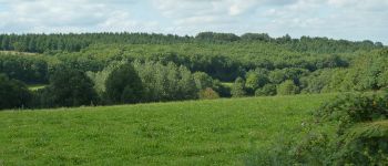
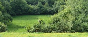
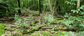
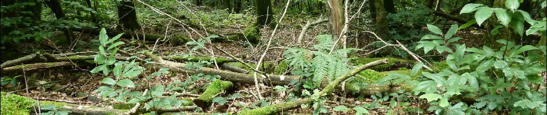
Ballade champêtre et forestière.
Un poil longue pour le petit de quatre ans.
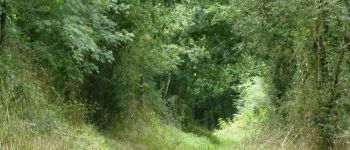
Quelques passages où les ronces et les orties obligent à layonner, mais les mûres glanées par les enfants tout au long de la marche leurs font oublier cet inconvénient.
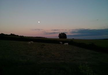
Une belle promenade.

Hoogteprofiel

Foto's

POI's

POI Moncoutant-sur-Sèvre - Forêt. - Photo
Bushiben
MONCOUTANT-SUR-SÈVRE 
POI Saint-Paul-en-Gâtine - Des chemins champètres. - Photo
Bushiben
SAINT-PAUL-EN-GÂTINE 
POI Saint-Paul-en-Gâtine - Pause repas dans un pré. - Photo
Bushiben
SAINT-PAUL-EN-GÂTINE 
POI Saint-Paul-en-Gâtine - Descendons vers le ruisseau. - Photo
Bushiben
SAINT-PAUL-EN-GÂTINE 
POI Moncoutant-sur-Sèvre - Forêt moussue. - Photo
Bushiben
MONCOUTANT-SUR-SÈVRE 

Plaatsbepaling

Land:
France
Regio :
Nieuw-Aquitanië
Departement/Provincie :
Deux-Sèvres
Gemeente :
Moncoutant-sur-Sèvre
Locatie:
La Chapelle-Saint-Étienne
Vertrek:(Dec)
Vertrek:(UTM)
683829 ; 5169797 (30T) N.

Wandeltochten in de omgeving

Tocht Te voet La Chapelle-aux-Lys - Chemin aux Étoiles - L'histoire de l'Univers - Photo
Te voet
PRO

Te voet

Gemakkelijk
La Chapelle-aux-Lys, Pays de la Loire, Vendée, France
4,3 km | 5,3 km-effort
1h 12min
Neen
Tocht Stappen Moncoutant-sur-Sèvre - Rando 17km A-R de la forêt de l'aventure - Photo
Stappen
dudu79

Stappen

Zeer moeilijk
(1)
Moncoutant-sur-Sèvre, Nieuw-Aquitanië, Deux-Sèvres, France
17,5 km | 21 km-effort
4h 50min
Ja
Tocht Stappen Moncoutant-sur-Sèvre - Chante merle - Photo
Stappen
viaul

Stappen

Gemakkelijk
Moncoutant-sur-Sèvre, Nieuw-Aquitanië, Deux-Sèvres, France
12,2 km | 14 km-effort
3h 4min
Ja
Tocht Stappen Moncoutant-sur-Sèvre - Forêt de l aventure  - Photo
Stappen
viaul

Stappen

Gemakkelijk
Moncoutant-sur-Sèvre, Nieuw-Aquitanië, Deux-Sèvres, France
19,8 km | 23 km-effort
5h 31min
Ja
Tocht Te voet Moncoutant-sur-Sèvre - rando du 23 mai 2021 - Photo
Te voet
dudu79

Te voet

Medium
Moncoutant-sur-Sèvre, Nieuw-Aquitanië, Deux-Sèvres, France
21 km | 26 km-effort
5h 54min
Ja
Tocht Fiets Moncoutant-sur-Sèvre - Guérinière Bressuire 2 - Photo
Fiets
Ceclm

Fiets

Heel gemakkelijk
Moncoutant-sur-Sèvre, Nieuw-Aquitanië, Deux-Sèvres, France
19,3 km | 21 km-effort
1h 0min
Neen
Tocht Quad Vernoux-en-Gâtine - randonnée du 24/02/2024 - Photo
Quad
favraux

Quad

Medium
Vernoux-en-Gâtine, Nieuw-Aquitanië, Deux-Sèvres, France
89 km | 106 km-effort
3h 10min
Ja
Tocht Quad La Chapelle-aux-Lys - rando 7 oct 23 - Photo
Quad
rabal85

Quad

Heel gemakkelijk
La Chapelle-aux-Lys, Pays de la Loire, Vendée, France
85 km | 102 km-effort
3h 8min
Neen
Tocht Stappen Moncoutant-sur-Sèvre - Chante beau merle st Paul - Photo
Stappen
viaul

Stappen

Gemakkelijk
Moncoutant-sur-Sèvre, Nieuw-Aquitanië, Deux-Sèvres, France
18,3 km | 22 km-effort
4h 8min
Ja


Sluiten
Mijn abonnementen