


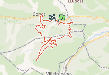


13,5 km | 17,2 km-effort


Gebruiker


Gratisgps-wandelapplicatie
 SityTrail
IGN / Geografische instituten
SityTrail World
De wereld gaat voor u open
Tocht Stappen van 12,7 km beschikbaar op Occitanië, Pyrénées-Orientales, Conat. Deze tocht wordt voorgesteld door Jovila.
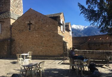
Départ : Ria direction Conat après la borne km 4 repérer la piste à gauche (2 boites aux lettres sur des briques et poubelles)ce n'est pas un chemin privé. S'engager sur ce chemin et se garer.

Stappen

Motor

Mountainbike

Stappen
Stappen
Stappen
Stappen
Stappen

Stappen