


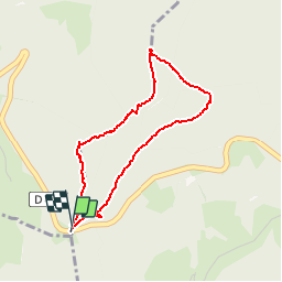

14,1 km | 21 km-effort

Gebruiker


Gratisgps-wandelapplicatie
 SityTrail
IGN / Geografische instituten
SityTrail World
De wereld gaat voor u open
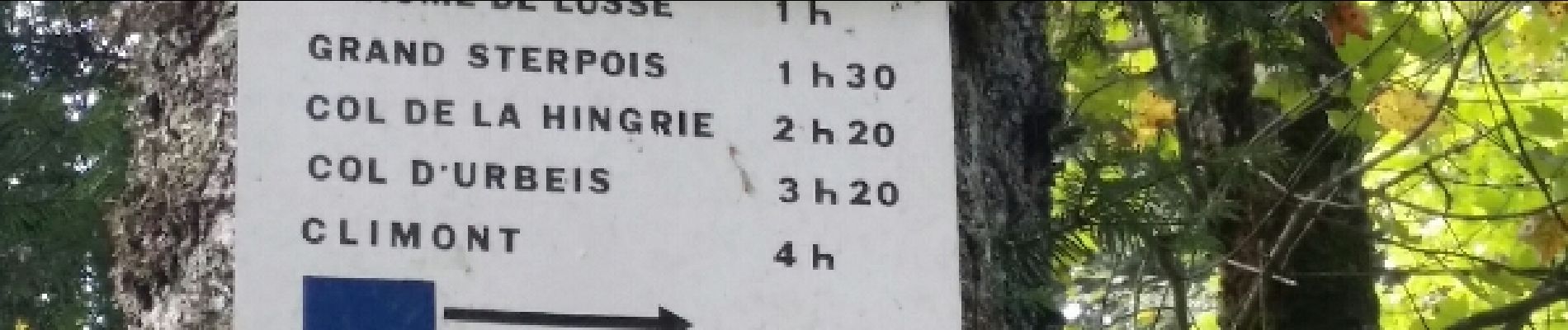
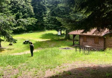
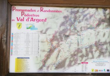
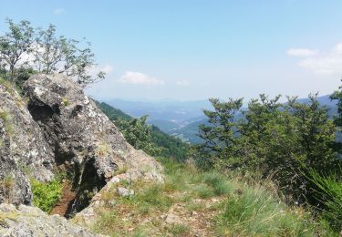
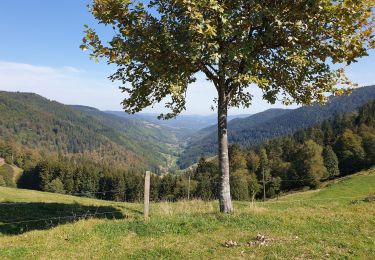
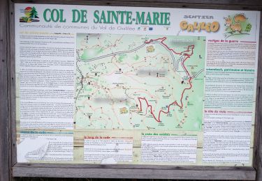
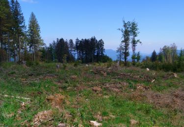
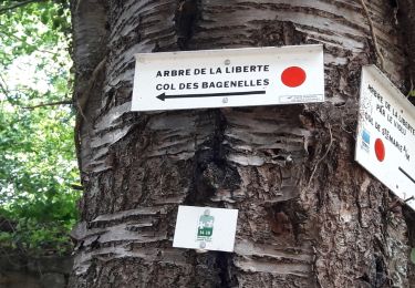
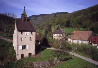
Tocht Stappen van 3,3 km beschikbaar op Grand Est, Vogezen, Wisembach. Deze tocht wordt voorgesteld door bohynm.


Stappen

Stappen
Stappen
Stappen
Stappen
Stappen
Noords wandelen
Stappen
Mountainbike