Tocht Stappen Waterloo - #221111 - Waterloo > Braine, GRP127 - Photo

#221111 - Waterloo > Braine, GRP127

 Randos Ouvertes
Randos Ouvertes

Gebruiker

© OpenStreetMap contributors
Lengte
Lengte
7,4 km
Max. hoogte
Max. hoogte
121 m
Positief hoogteverschil
87 m
Km-Effort
Km-Effort  
8,5 km
Min. hoogte
Min. hoogte
83 m
Negatief hoogteverschil
84 m
Boucle
Boucle
Ja
Datum van aanmaak :
10/11/2022 16:16
Laatste wijziging :
12/11/2022 14:35

(0 Bericht)

Stappen
Stappen
1h56
Moeilijkheid : Medium

Scan deze QR-code om de tocht te openen in de SityTrail-applicatie

Gratisgps-wandelapplicatie

Logo SityTrail SityTrail

IGN / Geografische instituten

SityTrail uit de App Store downloaden SityTrail uit Google Play downloaden

Logo SityTrail SityTrail Plus

De wereld gaat voor u open

SityTrail uit de App Store downloaden SityTrail uit Google Play downloaden SityTrail op Huawei AppGallery downloaden

Over ons

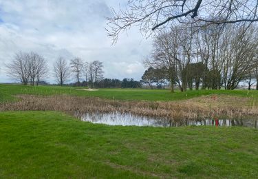
Tocht Stappen van 7,4 km beschikbaar op Wallonië, Waals-Brabant, Waterloo. Deze tocht wordt voorgesteld door Randos Ouvertes.

Beschrijving

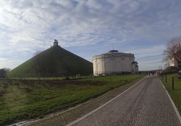
Rando tracée dans le cadre de l'exploration du GRP 127 Tour du Brabant Wallon (266 km de Wavre à Wavre). Ici nous couvrons la partie comprise entre les km 30,5 et 34,80 (en début) et nous revenons par le parc Bourdon et le quartier du Ménil.

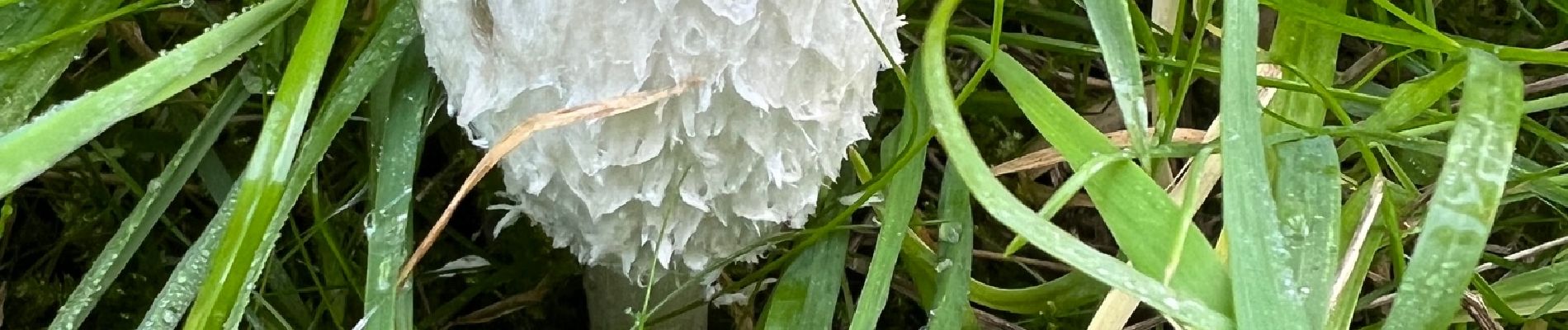
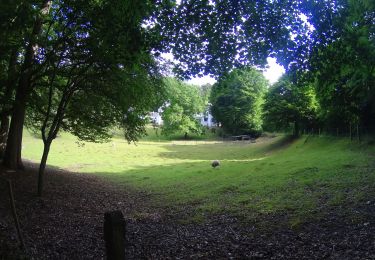
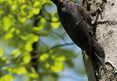
Crédit photos : Sophie Vermote

Hoogteprofiel

Foto's

Plaatsbepaling

Land:
Belgium
Regio :
Wallonië
Departement/Provincie :
Waals-Brabant
Gemeente :
Waterloo
Locatie:
Unknown
Vertrek:(Dec)
Vertrek:(UTM)
598847 ; 5616714 (31U) N.


Sluiten
Mijn abonnementen