Tocht Elektrische fiets Vialas - TOUR DU MONT LOZERE - Photo

TOUR DU MONT LOZERE

 asclier0
asclier0

Gebruiker

© OpenStreetMap contributors
Lengte
Lengte
33 km
Max. hoogte
Max. hoogte
1587 m
Positief hoogteverschil
617 m
Km-Effort
Km-Effort  
41 km
Min. hoogte
Min. hoogte
1278 m
Negatief hoogteverschil
616 m
Boucle
Boucle
Ja
Datum van aanmaak :
2023-02-01 17:57:09.716
Laatste wijziging :
2023-02-01 18:36:15.741

(0 Bericht)

Elektrische fiets
Elektrische fiets
3h00
Moeilijkheid : Gemakkelijk

Scan deze QR-code om de tocht te openen in de SityTrail-applicatie

Gratisgps-wandelapplicatie

Logo SityTrail SityTrail

IGN / Geografische instituten

SityTrail uit de App Store downloaden SityTrail uit Google Play downloaden

Logo SityTrail SityTrail World

De wereld gaat voor u open

SityTrail uit de App Store downloaden SityTrail uit Google Play downloaden SityTrail op Huawei AppGallery downloaden

Over ons

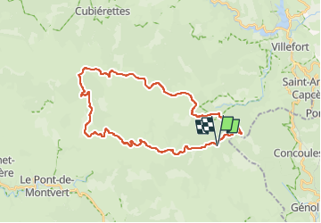
Tocht Elektrische fiets van 33 km beschikbaar op Occitanië, Lozère, Vialas. Deze tocht wordt voorgesteld door asclier0.

Beschrijving

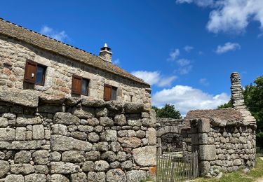
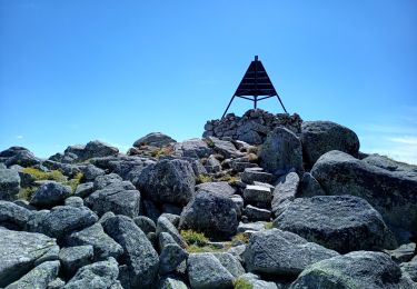
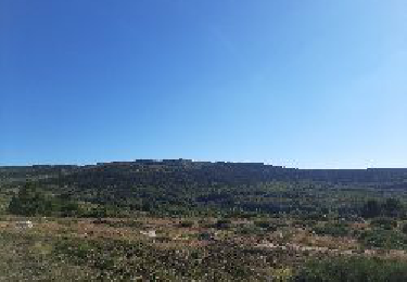
Boucle au départ du Mas De La Barque.
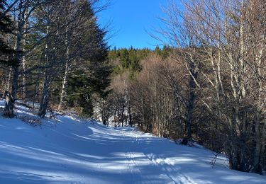
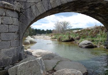
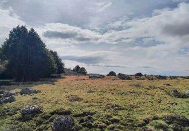
Route et piste de terre.

Hoogteprofiel

Foto's

Plaatsbepaling

Land:
France
Regio :
Occitanië
Departement/Provincie :
Lozère
Gemeente :
Vialas
Locatie:
Unknown
Vertrek:(UTM)
569763 ; 4915074 (31T) N.

Wandeltochten in de omgeving

Tocht Stappen Pont de Montvert - Sud Mont Lozère - Pic Cassini  - Photo
Stappen
GUIDE
nadinebondoux

Stappen

Medium
Pont de Montvert - Sud Mont Lozère, Occitanië, Lozère, France
11,2 km | 14,8 km-effort
5h 11min
Ja
Tocht Stappen Pont de Montvert - Sud Mont Lozère - Sources du Tarn - Photo
Stappen
GUIDE
nadinebondoux

Stappen

Medium
Pont de Montvert - Sud Mont Lozère, Occitanië, Lozère, France
18,2 km | 24 km-effort
5h 41min
Ja
Tocht Stappen Concoules - 2023-01-22_15h09m14_Cirkwi-La_Virado_del_Ronc - Photo
Stappen
Levant

Stappen

Moeilijk
(1)
Concoules, Occitanië, Gard, France
9,3 km | 15,6 km-effort
3h 32min
Ja
Tocht Stappen Pont de Montvert - Sud Mont Lozère - Le Pic Cassini - Photo
Stappen
GUIDE
Roger Philippe Wallez

Stappen

Moeilijk
Pont de Montvert - Sud Mont Lozère, Occitanië, Lozère, France
12,1 km | 15,7 km-effort
5h 30min
Ja
Tocht Stappen Vialas - Mas de la barque source du Tarn - Photo
Stappen
GUIDE
Roger Philippe Wallez

Stappen

Zeer moeilijk
Vialas, Occitanië, Lozère, France
17,9 km | 23 km-effort
6h 24min
Ja
Tocht Te voet Vialas - J2:Mas de la Barque-Pont de Montvert - Photo
Te voet
canardDenis

Te voet

Medium
Vialas, Occitanië, Lozère, France
23 km | 31 km-effort
6h 58min
Neen
Tocht Te voet Pont de Montvert - Sud Mont Lozère - Sentier de Mas Camargues - Photo
Te voet
PRO

Te voet

Gemakkelijk
Pont de Montvert - Sud Mont Lozère, Occitanië, Lozère, France
3,1 km | 3,9 km-effort
52min
Ja
Tocht Stappen Vialas - Mont Lozère : Mas de la Barque - Photo
Stappen
Thierry Christophle

Stappen

Moeilijk
Vialas, Occitanië, Lozère, France
33 km | 43 km-effort
7h 8min
Ja
Tocht Stappen Vialas - Pic cassini 130720 - Photo
Stappen
fario

Stappen

Zeer moeilijk
Vialas, Occitanië, Lozère, France
14,8 km | 21 km-effort
4h 22min
Ja


Sluiten
Mijn abonnementen