


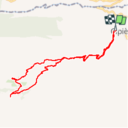


13,5 km | 18,6 km-effort


Gebruiker


Gratisgps-wandelapplicatie
 SityTrail
IGN / Geografische instituten
SityTrail World
De wereld gaat voor u open
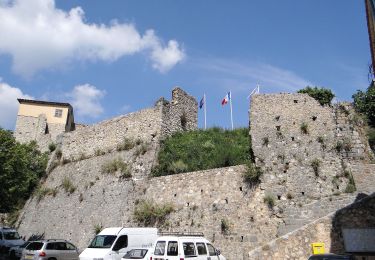
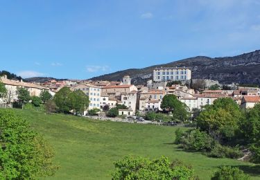
Tocht Stappen van 11,5 km beschikbaar op Provence-Alpes-Côte d'Azur, Alpes-Maritimes, Cipières. Deze tocht wordt voorgesteld door Dervalmarc.
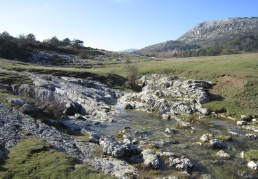
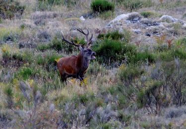
Très beau plateau karstique. Restanques, Boris nombreuses bergeries


Stappen
Te voet
Te voet
Te voet
Te voet
Te voet
Te voet
Te voet
Te voet