


Glaciar Exploradores

gildascb
Gebruiker
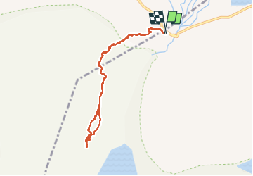

Lengte
8,2 km

Max. hoogte
209 m

Positief hoogteverschil
179 m
Km-Effort
10,6 km

Min. hoogte
147 m

Negatief hoogteverschil
182 m
Boucle
Ja
Datum van aanmaak :
2023-02-24 13:01:53.997
Laatste wijziging :
2023-03-04 21:28:17.844
5h59
Moeilijkheid : Medium

Gratisgps-wandelapplicatie
 SityTrail
IGN / Geografische instituten
SityTrail World
De wereld gaat voor u open
Over ons
Tocht Stappen van 8,2 km beschikbaar op Región Aysén del General Carlos Ibáñez del Campo, Provincia de General Carrera, Chile Chico. Deze tocht wordt voorgesteld door gildascb.
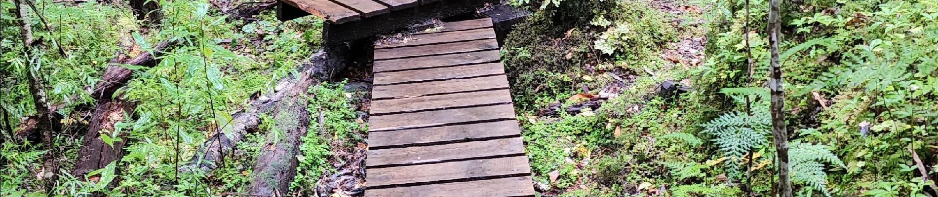
Foto's


33 fotos in totaal. Klik op een foto om ze allemaal in de galerij weer te geven.
Plaatsbepaling
Land:
Chile
Regio :
Región Aysén del General Carlos Ibáñez del Campo
Departement/Provincie :
Provincia de General Carrera
Gemeente :
Chile Chico
Locatie:
Unknown
Vertrek:(Dec)
Vertrek:(UTM)
641734 ; 4848668 (18G) Z.
Opmerkingen
Wandeltochten in de omgeving