Tocht Stappen Chastre - gb - chastre grand tour fractionnable  - Photo

gb - chastre grand tour fractionnable

 Charles Lemaire
Charles Lemaire

Gebruiker

© OpenStreetMap contributors
Lengte
Lengte
28 km
Max. hoogte
Max. hoogte
163 m
Positief hoogteverschil
270 m
Km-Effort
Km-Effort  
32 km
Min. hoogte
Min. hoogte
111 m
Negatief hoogteverschil
270 m
Boucle
Boucle
Ja
Datum van aanmaak :
2023-03-03 07:23:59.58
Laatste wijziging :
2023-03-03 14:33:57.307

(0 Bericht)

Stappen
Stappen
5h49
Moeilijkheid : Zeer moeilijk

Scan deze QR-code om de tocht te openen in de SityTrail-applicatie

Gratisgps-wandelapplicatie

Logo SityTrail SityTrail

IGN / Geografische instituten

SityTrail uit de App Store downloaden SityTrail uit Google Play downloaden

Logo SityTrail SityTrail World

De wereld gaat voor u open

SityTrail uit de App Store downloaden SityTrail uit Google Play downloaden SityTrail op Huawei AppGallery downloaden

Over ons

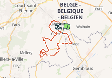
Tocht Stappen van 28 km beschikbaar op Wallonië, Waals-Brabant, Chastre. Deze tocht wordt voorgesteld door Charles Lemaire.

Beschrijving

A partir de la gare de Chastre, une série de boucles pour découvrir les 7 villages et les 8 clochers de Chastre.

Point de départ: en train (arret sncb de Chastre) ou bus (gare tec de Chastre) ; en voiture (parking de la maison communale, rue du Castillon, à quelques centaines de mètres de la fin de la promenade).
Presque toute la promenade est aussi accessible aux vélos tout chemins ; elle ne présente pas de difficulté particulière, à part sa longueur.

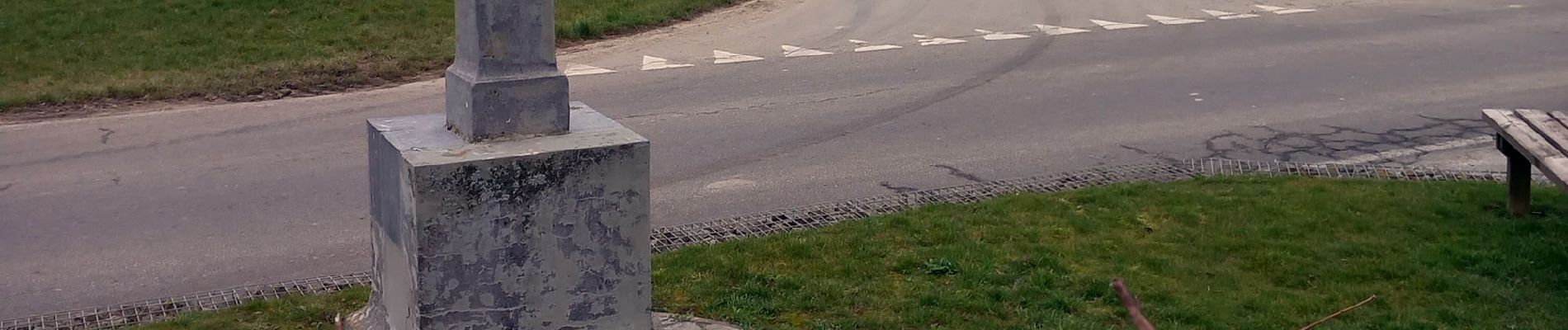
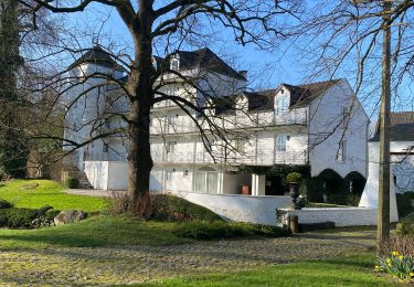
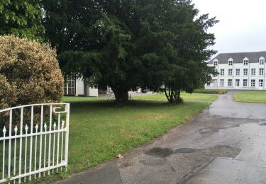
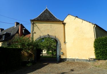
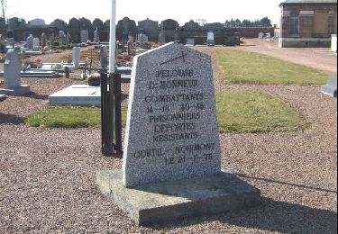
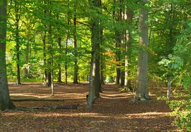
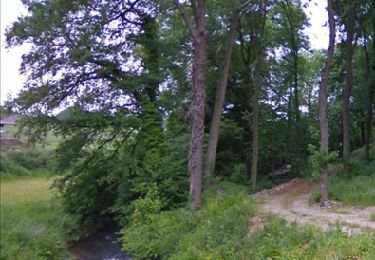
Point illustrés: Eglise de Noirmont, Moulin de Noirmont, Eglise de Cortil, Tensoul, Musée Français, Eglise de Saint Géry, Fontaine St Géry, Bois de l'ermitage, Chapelle de l'ermitage, Mémorial Kongolo, Eglise de Gentinnes, Moulin Dussart, Tour de sarrasins, Croix St Gery, Eglise de Villeroux, Eglise de Chastre, Moulin Al Poudre, Eglise de Blanmont, Chateau de Blanmont, Moulin de Godeupont, Maison communale de Chastre, Place de la gare de Chastre

Hoogteprofiel

Foto's

29 fotos in totaal. Klik op een foto om ze allemaal in de galerij weer te geven.

Plaatsbepaling

Land:
Belgium
Regio :
Wallonië
Departement/Provincie :
Waals-Brabant
Gemeente :
Chastre
Locatie:
Chastre-Villeroux-Blanmont
Vertrek:(UTM)
616729 ; 5607567 (31U) N.

Wandeltochten in de omgeving

Tocht Stappen Mont-Saint-Guibert - Balade à Mont-Saint-Guibert - Photo
Stappen
GUIDE
Desrumaux

Stappen

Heel gemakkelijk
(1)
Mont-Saint-Guibert, Wallonië, Waals-Brabant, Belgium
8,4 km | 10,1 km-effort
2h 12min
Ja
Tocht Stappen Chastre - #240223a - Blanmont, Orne, Alvaux, Nil Pierreux*** - Photo
Stappen
Randos Ouvertes

Stappen

Medium
(1)
Chastre, Wallonië, Waals-Brabant, Belgium
6,6 km | 7,8 km-effort
1h 47min
Ja
Tocht Stappen Chastre - #230728 - Gentinnes Kongolo - Photo
Stappen
Randos Ouvertes

Stappen

Gemakkelijk
(1)
Chastre, Wallonië, Waals-Brabant, Belgium
5 km | 5,6 km-effort
1h 16min
Ja
Tocht Te voet Walhain - #170829 - Nil Pierreux, carrières de quartzite, Moulin d'Al Poudre et Tour des Sarrasins*** - Photo
Te voet
Randos Ouvertes

Te voet

Heel gemakkelijk
(2)
Walhain, Wallonië, Waals-Brabant, Belgium
8,1 km | 9,9 km-effort
2h 0min
Ja
Tocht Stappen Chastre - Promenade de Villeroux - Photo
Stappen
Chastre1450

Stappen

Medium
(1)
Chastre, Wallonië, Waals-Brabant, Belgium
7,6 km | 8,5 km-effort
1h 53min
Ja
Tocht Stappen Chastre - Balade récréative de Cortil - Photo
Stappen
Chastre1450

Stappen

Gemakkelijk
(4)
Chastre, Wallonië, Waals-Brabant, Belgium
5,9 km | 6,5 km-effort
1h 26min
Ja
Tocht Stappen Chastre - Balade de la fontaine Saint Géry à Chastre - Photo
Stappen
GaetanHouart

Stappen

Medium
(1)
Chastre, Wallonië, Waals-Brabant, Belgium
7,6 km | 8,6 km-effort
1h 53min
Ja
Tocht Stappen Mont-Saint-Guibert - L'Orne_Chateau de Bierbais - Photo
Stappen
calofrancis

Stappen

Gemakkelijk
(2)
Mont-Saint-Guibert, Wallonië, Waals-Brabant, Belgium
9,4 km | 11,5 km-effort
2h 28min
Ja
Tocht Noords wandelen Mont-Saint-Guibert - Mont St Guibert - Photo
Noords wandelen
MajoisF

Noords wandelen

Heel gemakkelijk
(1)
Mont-Saint-Guibert, Wallonië, Waals-Brabant, Belgium
7,7 km | 9,7 km-effort
2h 2min
Ja


Sluiten
Mijn abonnementen