


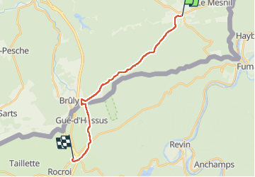

6,4 km | 9,1 km-effort


Gebruiker


Gratisgps-wandelapplicatie
 SityTrail
IGN / Geografische instituten
SityTrail World
De wereld gaat voor u open
Tocht Stappen van 16,5 km beschikbaar op Wallonië, Namen, Viroinval. Deze tocht wordt voorgesteld door thomarche.
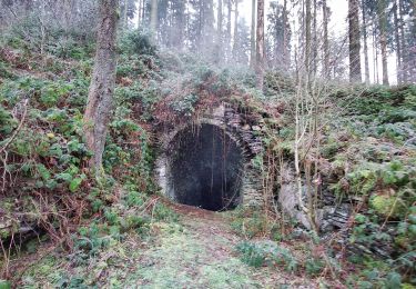
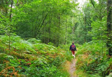
Traversée au plus profond des bois jusqu’au Bruly. Beau décrochage de tout bruit mécanique. Plus aucun réseau téléphonique. Le pied. Choc arrivée autoroute d’autant plus grand… Savoir revenir des sommets…
Stappen

Stappen
Stappen
Stappen

Stappen

Te voet
Te voet
Te voet
Te voet