


9,4 km | 12,8 km-effort

Gebruiker


Gratisgps-wandelapplicatie
 SityTrail
IGN / Geografische instituten
SityTrail World
De wereld gaat voor u open
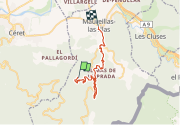
Tocht Stappen van 12,8 km beschikbaar op Occitanië, Pyrénées-Orientales, Maureillas-las-Illas. Deze tocht wordt voorgesteld door francineposkin.
Randonnée difficile car chemins difficiles avec dénivelé de /-400 m


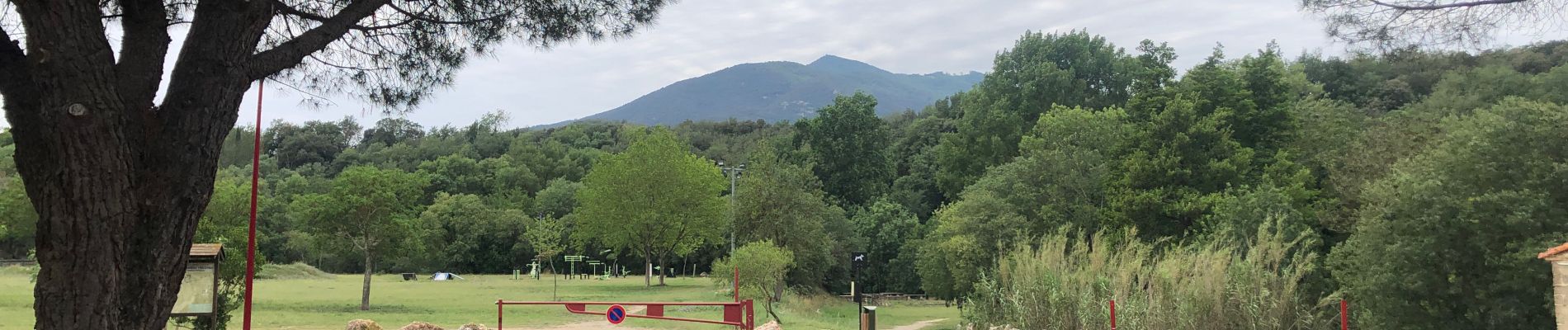
Stappen

Stappen

Stappen

Stappen
Stappen
Stappen
Stappen
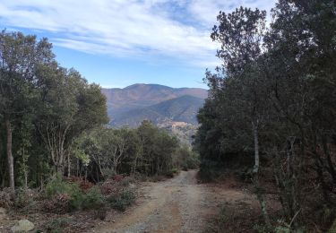
Stappen
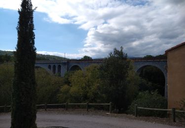
Stappen