


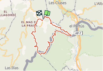

9,4 km | 12,8 km-effort

Gebruiker


Gratisgps-wandelapplicatie
 SityTrail
IGN / Geografische instituten
SityTrail World
De wereld gaat voor u open
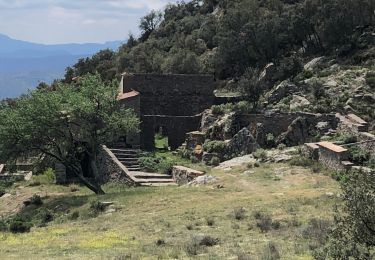
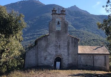
Tocht Stappen van 18 km beschikbaar op Occitanië, Pyrénées-Orientales, Maureillas-las-Illas. Deze tocht wordt voorgesteld door MarcOBRECHT.
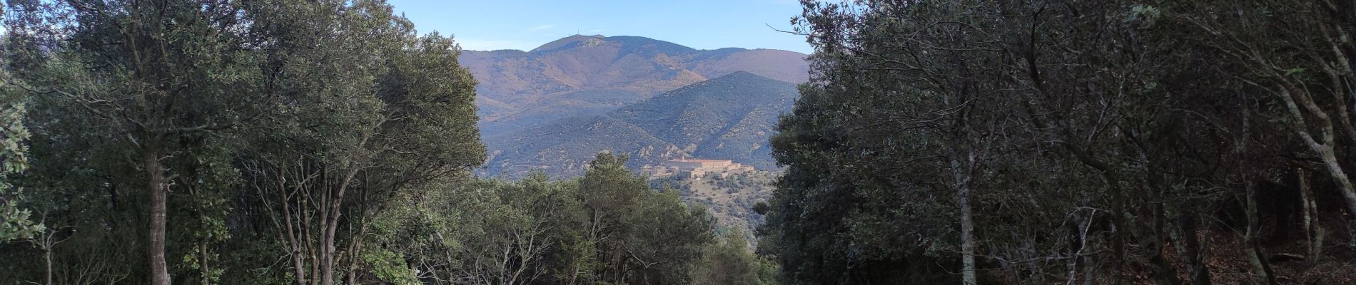
Départ par piste DFCI


Stappen

Stappen

Stappen

Stappen
Stappen
Stappen
Stappen
Stappen
Stappen