


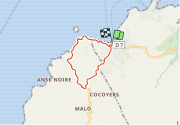

6,9 km | 10,1 km-effort

Gebruiker GUIDE


Gratisgps-wandelapplicatie
 SityTrail
IGN / Geografische instituten
SityTrail World
De wereld gaat voor u open
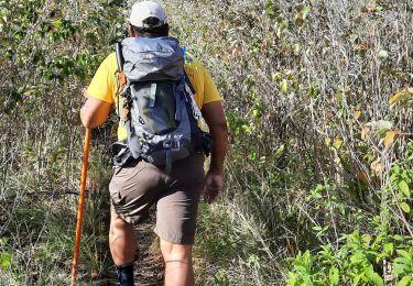
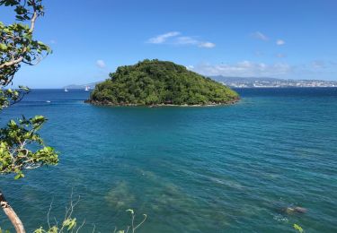
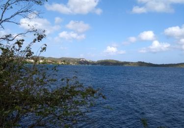
Tocht Stappen van 6,8 km beschikbaar op Martinique, Onbekend, Les Trois-Îlets. Deze tocht wordt voorgesteld door GabyG.
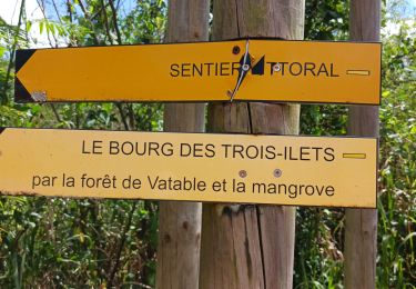
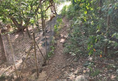
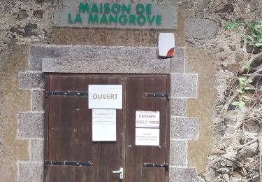
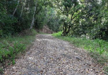
parcours en boucle de l'anse à l'âne vers Galocha sur route départementale, puis sous bois et bordure côtière pour atteindre l'anse à l'âne par les hauteurs.


Stappen
Stappen
Stappen
Stappen
Stappen
Stappen
Mountainbike
Te voet

Stappen