


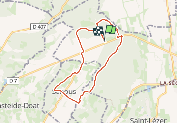

7 km | 8,7 km-effort


Gebruiker


Gratisgps-wandelapplicatie
 SityTrail
IGN / Geografische instituten
SityTrail World
De wereld gaat voor u open
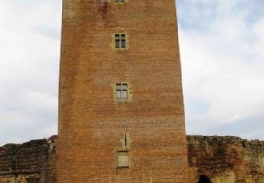
Tocht Stappen van 8,3 km beschikbaar op Occitanië, Hautes-Pyrénées, Vic-en-Bigorre. Deze tocht wordt voorgesteld door marcel.F.
départ Peyre Blanque
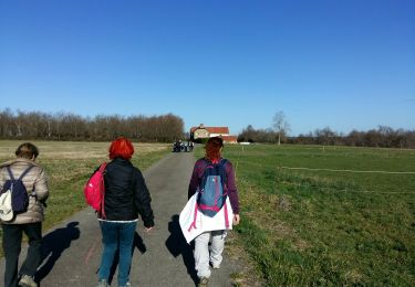
Te voet
Stappen

Mountainbike

Stappen

Te voet
Stappen
Stappen

Stappen
Stappen