


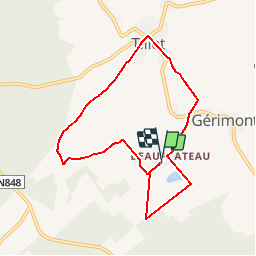


7,5 km | 9,5 km-effort
Randonnées de la Grande Forêt de Saint-Hubert GUIDE+


Gratisgps-wandelapplicatie
 SityTrail
IGN / Geografische instituten
SityTrail World
De wereld gaat voor u open
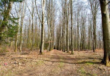
Tocht Noords wandelen van 7,3 km beschikbaar op Wallonië, Luxemburg, Sainte-Ode. Deze tocht wordt voorgesteld door La Grande Forêt de Saint-Hubert.
Deze Nordic Walking route is gevormd uit twee lusvormige parcoursen.
Niet bewegwijzerd.
Ontwerper:Ardenne Nordic Walking
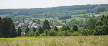
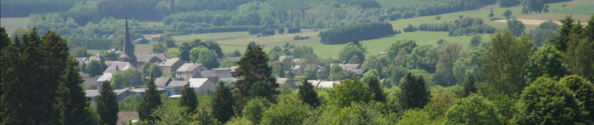
 - Photo 1")
Te voet

Stappen

Stappen

Stappen

Stappen

Stappen

Stappen

Stappen

Stappen