


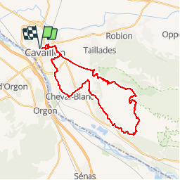

236 km | 285 km-effort

Randonnées de Vélo Loisir Provence GUIDE+


Gratisgps-wandelapplicatie
 SityTrail
IGN / Geografische instituten
SityTrail World
De wereld gaat voor u open
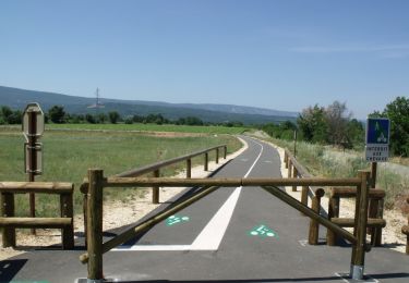
Tocht Fiets van 33 km beschikbaar op Provence-Alpes-Côte d'Azur, Vaucluse, Cavaillon. Deze tocht wordt voorgesteld door Vélo Loisir Provence.
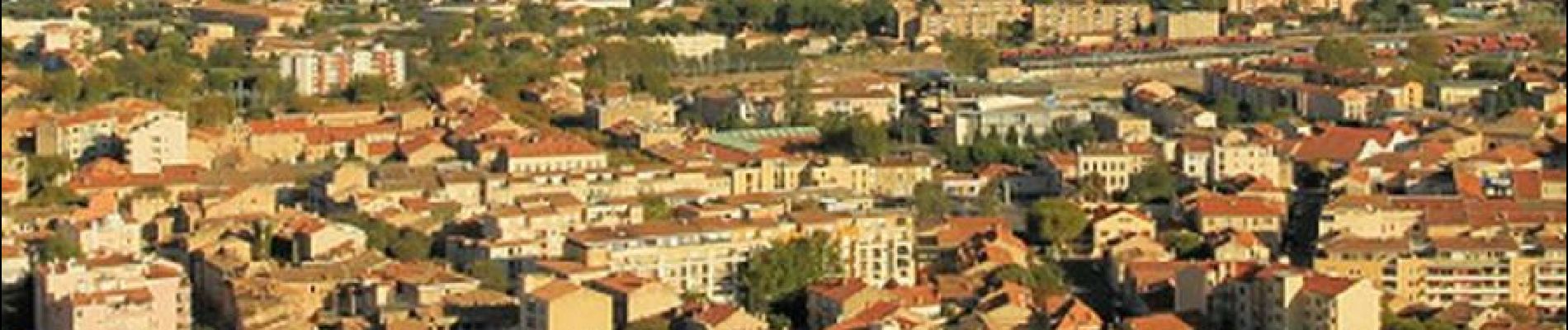
You will ride and climb The first crests of the petit Luberon in order to discover the landscapes of the Durance Valley. You will also have a view on this amazing colline St Jacques which overhang Cavaillon city. At the top of the mountain, you really deserve the view since the slope is stiff. Direction of the itinerary : Cavaillon => Cheval-blanc => Cavaillon


Fiets

Fiets

Stappen

Stappen

Stappen

Stappen

Mountainbike
Mountainbike
Stappen
attention c'est pour le vtt ou gravel