


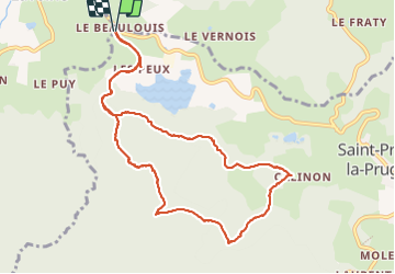


12,5 km | 19,7 km-effort

Gebruiker


Gratisgps-wandelapplicatie
 SityTrail
IGN / Geografische instituten
SityTrail World
De wereld gaat voor u open
Tocht Stappen van 10,9 km beschikbaar op Auvergne-Rhône-Alpes, Loire, Saint-Priest-la-Prugne. Deze tocht wordt voorgesteld door dudu42.
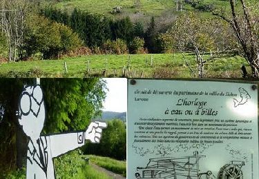
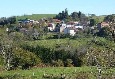
très beau circuit au milieu des bois. Point de vue sur le parcours


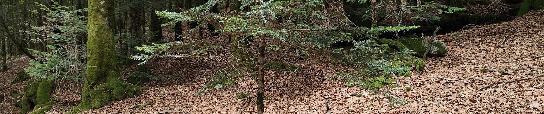
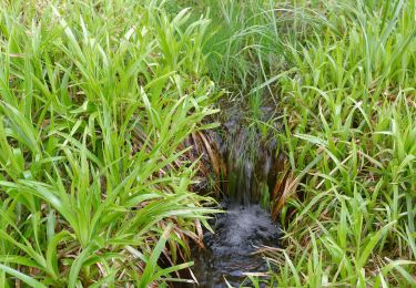
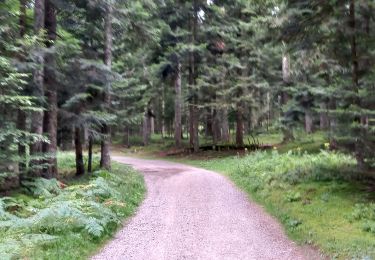
21 fotos in totaal. Klik op een foto om ze allemaal in de galerij weer te geven.
Te voet
Stappen

Stappen
Mountainbike
Stappen

Stappen

Stappen

Mountainbike

Stappen