


24 km | 29 km-effort

Gebruiker GUIDE


Gratisgps-wandelapplicatie
 SityTrail
IGN / Geografische instituten
SityTrail World
De wereld gaat voor u open
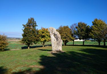
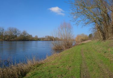
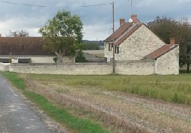
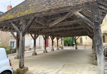
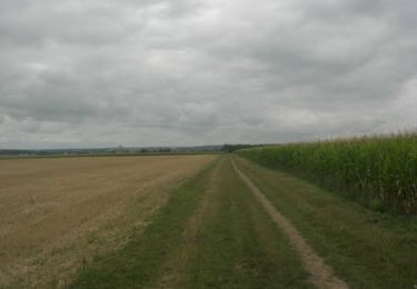
Tocht Stappen van 15,2 km beschikbaar op Centre-Val de Loire, Indre-et-Loire, Maillé. Deze tocht wordt voorgesteld door Orcal37.
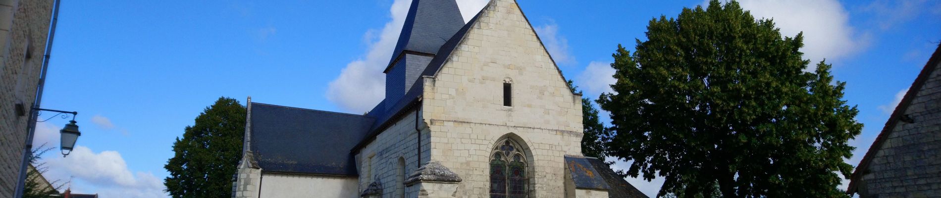
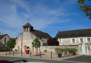
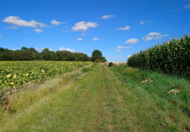
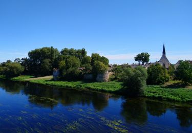
Maillé - PR Vallées et plateaux - 15.1km 135m 3h20 (35mn) - 2023 05 06
 - 2023 05 06 - Photo 1")
 - 2023 05 06 - Photo 2")
 - 2023 05 06 - Photo 3")
 - 2023 05 06 - Photo 4")
 - 2023 05 06 - Photo 5")
 - 2023 05 06 - Photo 6")
 - 2023 05 06 - Photo 7")
Stappen
Stappen
Stappen

Stappen
Stappen
Stappen
Stappen
Stappen
Mountainbike