


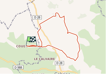

14,5 km | 19,9 km-effort


Gebruiker


Gratisgps-wandelapplicatie
 SityTrail
IGN / Geografische instituten
SityTrail World
De wereld gaat voor u open
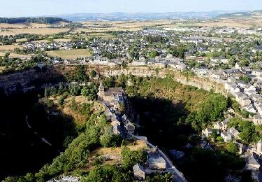
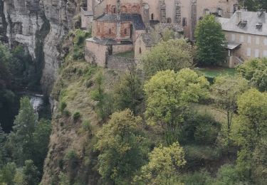
Tocht Andere activiteiten van 9,1 km beschikbaar op Occitanië, Aveyron, Bozouls. Deze tocht wordt voorgesteld door Lacaze.
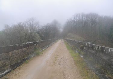
Départ place de Coudournac
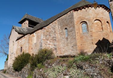
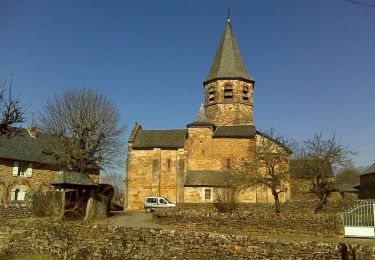
via St Affrique du Causse

Stappen
Te voet
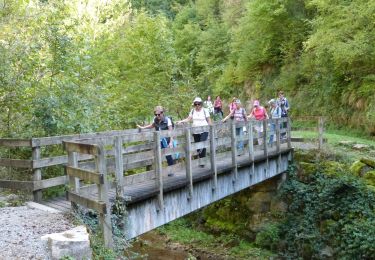
Stappen
Stappen
Mountainbike

Stappen
Stappen

Stappen
Stappen