


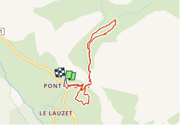


5,2 km | 12,8 km-effort

Gebruiker


Gratisgps-wandelapplicatie
 SityTrail
IGN / Geografische instituten
SityTrail World
De wereld gaat voor u open
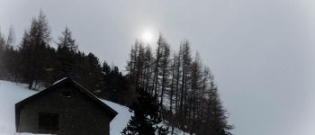
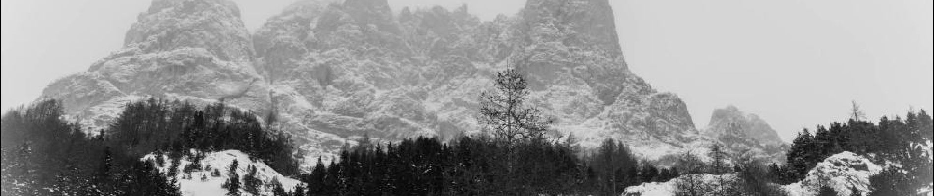
Tocht Sneeuwschoenen van 4,4 km beschikbaar op Provence-Alpes-Côte d'Azur, Hautes-Alpes, Le Monêtier-les-Bains. Deze tocht wordt voorgesteld door aja.
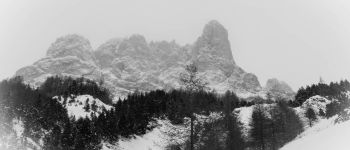
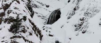
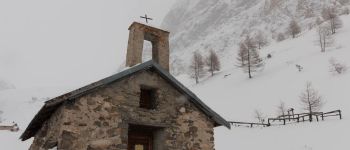
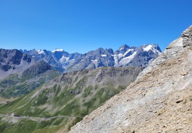
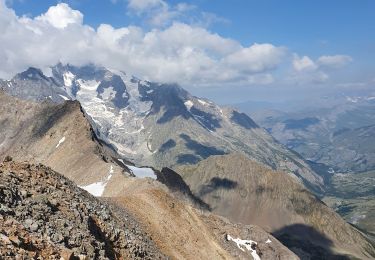
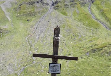
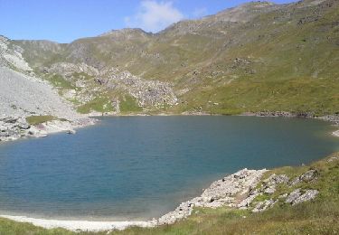
Pour découvrir l'alpage de l'Alpe du Lauzet sous la protection de l'Aiguillette du Lauzet et la Roche Robert. Belles vues sur les Pics du Combeynot et les abords du col du Lautaret.


Stappen
Stappen
Stappen

Stappen
Stappen

Via ferrata

Stappen

Stappen
Stappen