


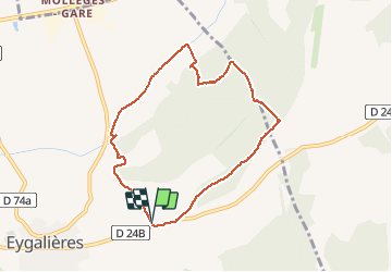

16 km | 18,8 km-effort


Gebruiker


Gratisgps-wandelapplicatie
 SityTrail
IGN / Geografische instituten
SityTrail World
De wereld gaat voor u open
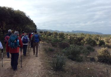
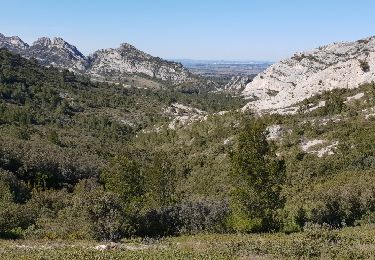
Tocht Stappen van 8,1 km beschikbaar op Provence-Alpes-Côte d'Azur, Bouches-du-Rhône, Eygalières. Deze tocht wordt voorgesteld door MicDul.
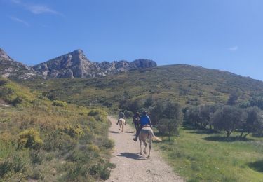
Départ : parking chapelle St Sixte sur la D24b


Stappen

Stappen
Stappen
Stappen
Stappen
Paardrijden
Stappen

Paard
Stappen