


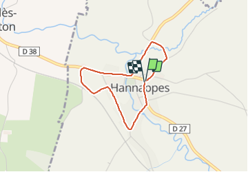

22 km | 25 km-effort


Gebruiker


Gratisgps-wandelapplicatie
 SityTrail
IGN / Geografische instituten
SityTrail World
De wereld gaat voor u open
Tocht van 2,7 km beschikbaar op Grand Est, Ardennes, Hannappes. Deze tocht wordt voorgesteld door zayneb aftat.
2/11/2023
Herfstvakantie


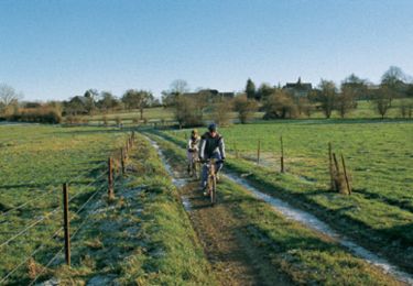
Mountainbike

Mountainbike