


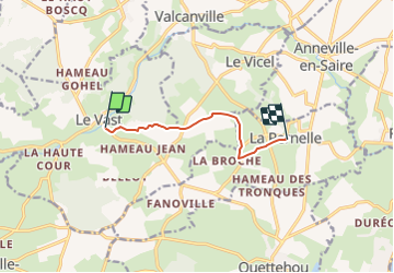

9,7 km | 12,4 km-effort


Gebruiker


Gratisgps-wandelapplicatie
 SityTrail
IGN / Geografische instituten
SityTrail World
De wereld gaat voor u open
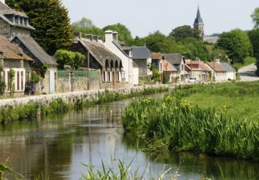
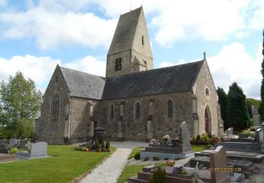
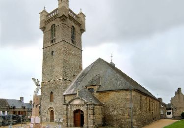
Tocht van 5,6 km beschikbaar op Normandië, Manche, Le Vast. Deze tocht wordt voorgesteld door clrunavot.
Stappen
Stappen
Mountainbike
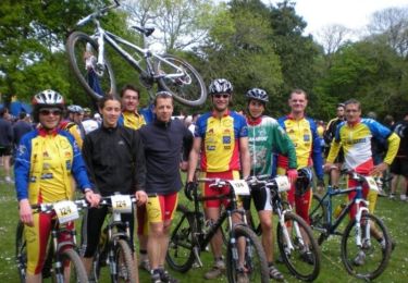
Mountainbike
Mountainbike
Stappen
Mountainbike

