8,6 km | 10,5 km-effort
Bucey 15,8km le 20.11.2023
francis1952
Gebruiker
Lengte
15,8 km
Max. hoogte
254 m
Positief hoogteverschil
302 m
Km-Effort
19,8 km
Min. hoogte
162 m
Negatief hoogteverschil
299 m
Boucle
Ja
Datum van aanmaak :
2023-11-20 07:37:28.294
Laatste wijziging :
2023-11-20 10:56:03.729
3h14
Moeilijkheid : Moeilijk
Gratisgps-wandelapplicatie
Over ons
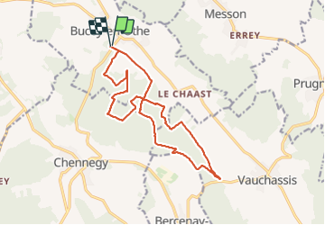
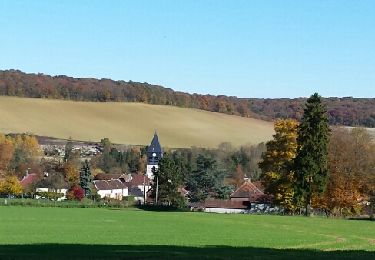
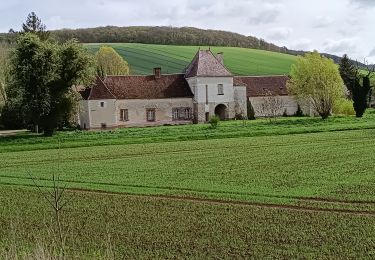
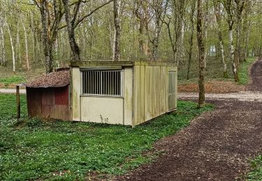
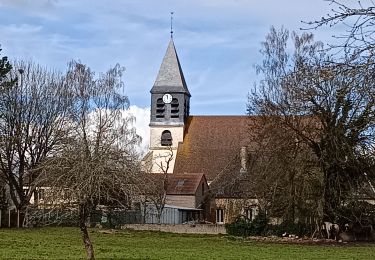
Tocht Stappen van 15,8 km beschikbaar op Grand Est, Aube, Bucey-en-Othe. Deze tocht wordt voorgesteld door francis1952.
Plaatsbepaling
Land:
France
Regio :
Grand Est
Departement/Provincie :
Aube
Gemeente :
Bucey-en-Othe
Locatie:
Unknown
Vertrek:(Dec)
Vertrek:(UTM)
564211 ; 5345028 (31U) N.
Opmerkingen
Wandeltochten in de omgeving
Le chemin du patrimoine du Valdreux
Stappen
Heel gemakkelijk
(1)
Chennegy,
Grand Est,
Aube,
France
1h 57min
Ja
Randonnée Bucey 23 04 2024
Stappen
Moeilijk
Vauchassis,
Grand Est,
Aube,
France
10,5 km | 13,4 km-effort
3h 5min
Ja
Balade VAE Pays d Othe
Elektrische fiets
Heel gemakkelijk
Vauchassis,
Grand Est,
Aube,
France
56 km | 66 km-effort
5h 15min
Ja
Bucey en Othe
Stappen
Moeilijk
Bucey-en-Othe,
Grand Est,
Aube,
France
10 km | 12,6 km-effort
3h 0min
Ja
Balade Forêt communale de Vauchassis
Stappen
Medium
Vauchassis,
Grand Est,
Aube,
France
7,5 km | 9,1 km-effort
2h 26min
Ja
Vauchassis Bercenay Vauchassis
Stappen
Moeilijk
Vauchassis,
Grand Est,
Aube,
France
10,3 km | 13 km-effort
3h 2min
Ja
Randonnée Grands Bois Vauchassis
Stappen
Medium
Vauchassis,
Grand Est,
Aube,
France
9,7 km | 12 km-effort
2h 51min
Ja
Balade VAE Pays d'Othe
Elektrische fiets
Medium
Vauchassis,
Grand Est,
Aube,
France
46 km | 56 km-effort
3h 38min
Ja
Randonnée à Chennegy
Stappen
Moeilijk
Chennegy,
Grand Est,
Aube,
France
10,6 km | 12,4 km-effort
3h 5min
Ja