


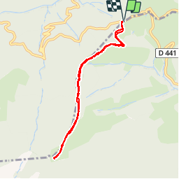


8,3 km | 12,1 km-effort

Gebruiker


Gratisgps-wandelapplicatie
 SityTrail
IGN / Geografische instituten
SityTrail World
De wereld gaat voor u open
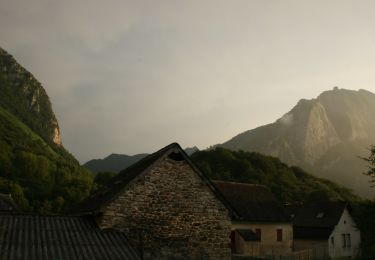
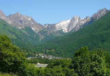
Tocht Sneeuwschoenen van 8,1 km beschikbaar op Nieuw-Aquitanië, Pyrénées-Atlantiques, Lées-Athas. Deze tocht wordt voorgesteld door PVERTICAL.
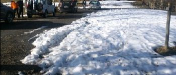
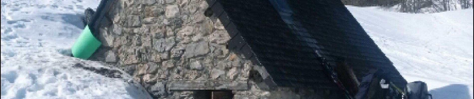
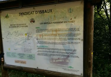
belle rando raquette depuis le Col de Bouesou - belle vue sur le plateau - possibilité de bivouac dans la cabane (peu de places : 04 à 06) équipée d'un coin cheminée

Te voet
Te voet
Te voet
Te voet
Te voet
Te voet
Te voet
Stappen
Stappen