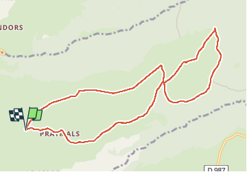
19 km | 28 km-effort
Enguilhens
antignacs
Gebruiker GUIDE
Lengte
11,3 km
Max. hoogte
1296 m
Positief hoogteverschil
295 m
Km-Effort
15,3 km
Min. hoogte
1065 m
Negatief hoogteverschil
294 m
Boucle
Ja
Datum van aanmaak :
2024-02-09 08:22:14.0
Laatste wijziging :
2024-02-09 11:20:53.429
2h57
Moeilijkheid : Heel gemakkelijk
Gratisgps-wandelapplicatie
Over ons
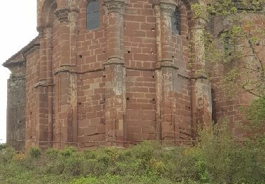
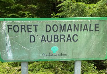
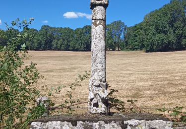
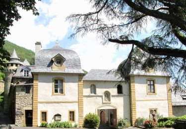
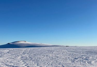
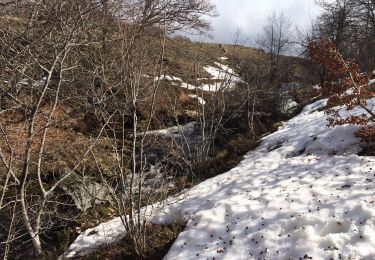
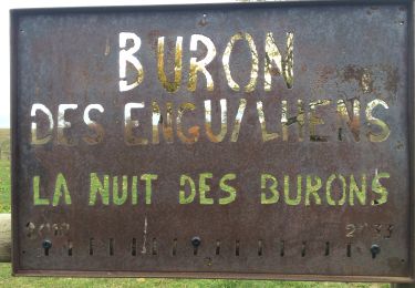
Tocht Stappen van 11,3 km beschikbaar op Occitanië, Aveyron, Condom-d'Aubrac. Deze tocht wordt voorgesteld door antignacs.
Plaatsbepaling
Land:
France
Regio :
Occitanië
Departement/Provincie :
Aveyron
Gemeente :
Condom-d'Aubrac
Locatie:
Unknown
Vertrek:(Dec)
Vertrek:(UTM)
491672 ; 4940793 (31T) N.
Opmerkingen
Wandeltochten in de omgeving
La voie romaine - Saint Chély d'Aubrac
Stappen
Medium
(2)
Saint-Chély-d'Aubrac,
Occitanië,
Aveyron,
France
5h 30min
Ja
Le Devez cascade et forêts
Stappen
Gemakkelijk
Curières,
Occitanië,
Aveyron,
France
11 km | 15,4 km-effort
3h 22min
Ja
Saint Chely Espalion Avril 2018
Stappen
Moeilijk
Saint-Chély-d'Aubrac,
Occitanië,
Aveyron,
France
25 km | 34 km-effort
7h 26min
Neen
Cascade du devèz et fosse à loup
Stappen
Moeilijk
Curières,
Occitanië,
Aveyron,
France
10,8 km | 15 km-effort
4h 7min
Ja
la croix du Pal
Stappen
Medium
Curières,
Occitanië,
Aveyron,
France
15,2 km | 22 km-effort
4h 29min
Ja
Sentier Aubrac - Abbaye de Bonneval - Espalion
Te voet
Gemakkelijk
Condom-d'Aubrac,
Occitanië,
Aveyron,
France
12,8 km | 19,2 km-effort
4h 21min
Neen
Mon plus bel Aubrac
Sneeuwschoenen
Medium
Curières,
Occitanië,
Aveyron,
France
12,4 km | 15,7 km-effort
4h 52min
Ja
S’y chely
Stappen
Moeilijk
Saint-Chély-d'Aubrac,
Occitanië,
Aveyron,
France
22 km | 31 km-effort
6h 16min
Ja
Autour roquette bonneval deveze
Stappen
Medium
Curières,
Occitanië,
Aveyron,
France
22 km | 30 km-effort
5h 55min
Ja