


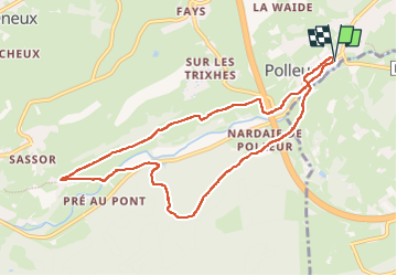

10,8 km | 14,6 km-effort

Gebruiker GUIDE


Gratisgps-wandelapplicatie
 SityTrail
IGN / Geografische instituten
SityTrail World
De wereld gaat voor u open
Tocht Stappen van 8,6 km beschikbaar op Wallonië, Luik, Theux. Deze tocht wordt voorgesteld door mumu.larandonneuse.
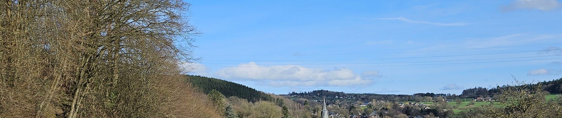
🇧🇪 Un parcours dans la vallée de la Hoëgne, de Polleur au hameau de Sassor en passant par le bois de Staneux.
📌 & 🅿️ École de Polleur, à l'entrée du village.


Stappen

Stappen

Stappen

Te voet

Stappen
Stappen
Stappen

Lopen

Te voet