Tocht Stappen Eaux-Puiseaux - eau p - Photo
 maraisch
maraisch

Gebruiker

© OpenStreetMap contributors
Lengte
Lengte
22 km
Max. hoogte
Max. hoogte
299 m
Positief hoogteverschil
491 m
Km-Effort
Km-Effort  
28 km
Min. hoogte
Min. hoogte
169 m
Negatief hoogteverschil
487 m
Boucle
Boucle
Ja
Datum van aanmaak :
2024-03-16 16:48:07.54
Laatste wijziging :
2024-03-16 16:48:10.091

(0 Bericht)

Stappen
Stappen
6h22
Moeilijkheid : Gemakkelijk

Scan deze QR-code om de tocht te openen in de SityTrail-applicatie

Gratisgps-wandelapplicatie

Logo SityTrail SityTrail

IGN / Geografische instituten

SityTrail uit de App Store downloaden SityTrail uit Google Play downloaden

Logo SityTrail SityTrail World

De wereld gaat voor u open

SityTrail uit de App Store downloaden SityTrail uit Google Play downloaden SityTrail op Huawei AppGallery downloaden

Over ons

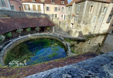
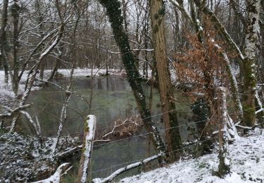
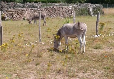
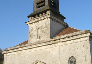
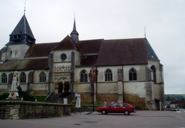
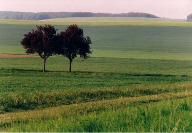
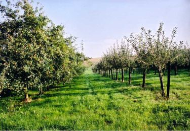
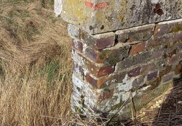
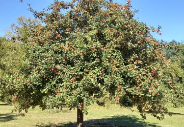
Tocht Stappen van 22 km beschikbaar op Grand Est, Aube, Eaux-Puiseaux. Deze tocht wordt voorgesteld door maraisch.

Beschrijving

eaux. p21

Hoogteprofiel

Plaatsbepaling

Land:
France
Regio :
Grand Est
Departement/Provincie :
Aube
Gemeente :
Eaux-Puiseaux
Locatie:
Unknown
Vertrek:(UTM)
566216 ; 5330377 (31U) N.

Wandeltochten in de omgeving

Tocht Wegfiets Auxon - EXT80 Auxon-01 - Photo
Wegfiets
Specialized77

Wegfiets

Gemakkelijk
Auxon, Grand Est, Aube, France
79 km | 91 km-effort
3h 30min
Ja
Tocht Stappen Maraye-en-Othe - Les Boulins - Photo
Stappen
FPortier

Stappen

Gemakkelijk
Maraye-en-Othe, Grand Est, Aube, France
8,9 km | 10,8 km-effort
2h 21min
Ja
Tocht Stappen Maraye-en-Othe - Maraye (11+13km) le 21/07/2020 - Photo
Stappen
francis1952

Stappen

Medium
Maraye-en-Othe, Grand Est, Aube, France
25 km | 30 km-effort
5h 14min
Ja
Tocht Stappen Montigny-les-Monts - Circuit de Coulore - Montigny-les-Monts - Photo
Stappen
tracegps

Stappen

Medium
Montigny-les-Monts, Grand Est, Aube, France
8,4 km | 9,7 km-effort
2h 4min
Ja
Tocht Stappen Eaux-Puiseaux - Circuit des trois Monts - Eaux-Puiseaux - Photo
Stappen
tracegps

Stappen

Zeer moeilijk
Eaux-Puiseaux, Grand Est, Aube, France
14,7 km | 19 km-effort
3h 45min
Ja
Tocht Stappen Maraye-en-Othe - Le circuit des Voirloups - Maraye-en-Othe - Photo
Stappen
tracegps

Stappen

Zeer moeilijk
(1)
Maraye-en-Othe, Grand Est, Aube, France
19,1 km | 24 km-effort
4h 49min
Ja
Tocht Stappen Maraye-en-Othe - Les Vergers de Champcharme - Maraye-en-Othe - Photo
Stappen
tracegps

Stappen

Moeilijk
Maraye-en-Othe, Grand Est, Aube, France
14,3 km | 18,6 km-effort
3h 34min
Ja
Tocht Stappen Maraye-en-Othe - Maraye,Nogent,Vosnon,Puiseaux,Chenu,Chamsicourt - Photo
Stappen
francis1952

Stappen

Moeilijk
Maraye-en-Othe, Grand Est, Aube, France
31 km | 39 km-effort
6h 11min
Ja
Tocht Stappen Maraye-en-Othe - Maraye 26km le 08.10.2021 - Photo
Stappen
francis1952

Stappen

Moeilijk
Maraye-en-Othe, Grand Est, Aube, France
26 km | 32 km-effort
5h 27min
Ja


Sluiten
Mijn abonnementen