


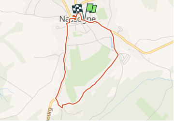


26 km | 34 km-effort

Gebruiker


Gratisgps-wandelapplicatie
 SityTrail
IGN / Geografische instituten
SityTrail World
De wereld gaat voor u open
Tocht Te voet van 3,5 km beschikbaar op Wallonië, Luxemburg, Nassogne. Deze tocht wordt voorgesteld door Levac.
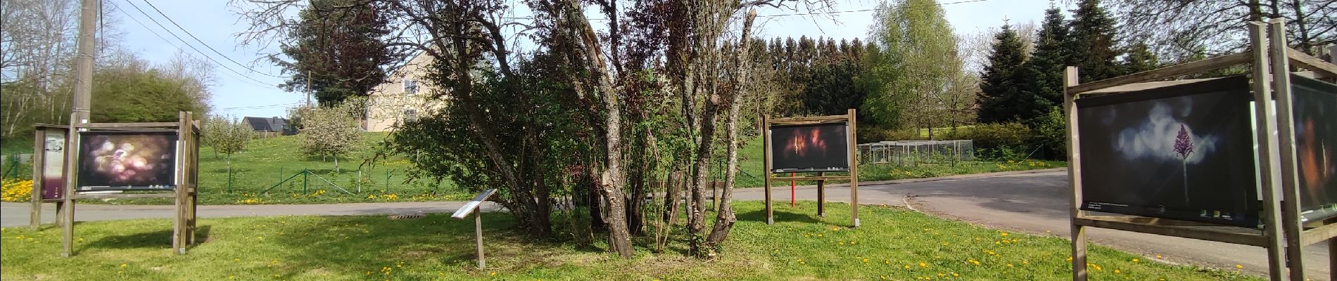
3,5km. Circuit facile dans le village, à la découvertes de 36 bâches-photos exposées en plein air dans des lieux de nature et d'intérêt touristique. Création : Office du Tourisme de Nassogne; projet de la Grande Forêt de Saint-Hubert asbl


Stappen

Stappen

Stappen

Mountainbike

Stappen

Stappen

Stappen

Stappen

Stappen