


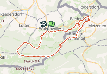

8,2 km | 11,4 km-effort

Gebruiker


Gratisgps-wandelapplicatie
 SityTrail
IGN / Geografische instituten
SityTrail World
De wereld gaat voor u open
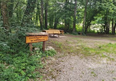
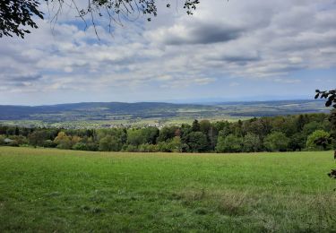
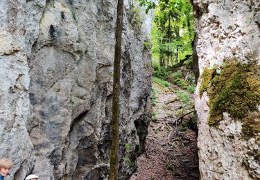
Tocht Stappen van 20 km beschikbaar op Grand Est, Haut-Rhin, Wolschwiller. Deze tocht wordt voorgesteld door boubou68.
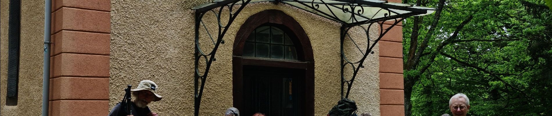
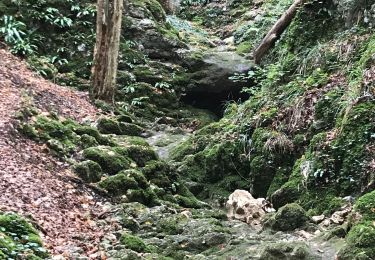
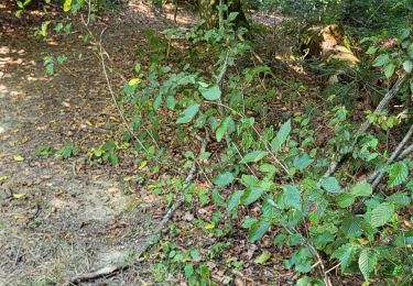
Belle rando


Stappen
Elektrische fiets
Stappen
Stappen
Stappen
Stappen
Stappen

Paard
Stappen