


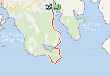


11,2 km | 19,4 km-effort

Gebruiker GUIDE


Gratisgps-wandelapplicatie
 SityTrail
IGN / Geografische instituten
SityTrail World
De wereld gaat voor u open
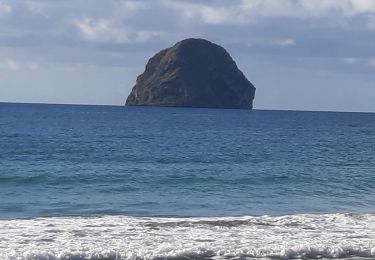
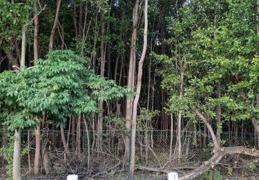
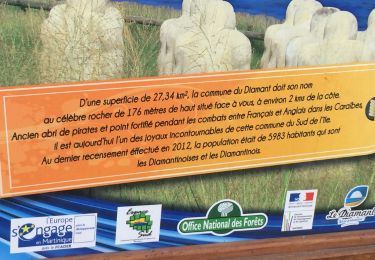
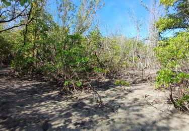
Tocht Stappen van 5 km beschikbaar op Martinique, Onbekend, Le Diamant. Deze tocht wordt voorgesteld door GabyG.
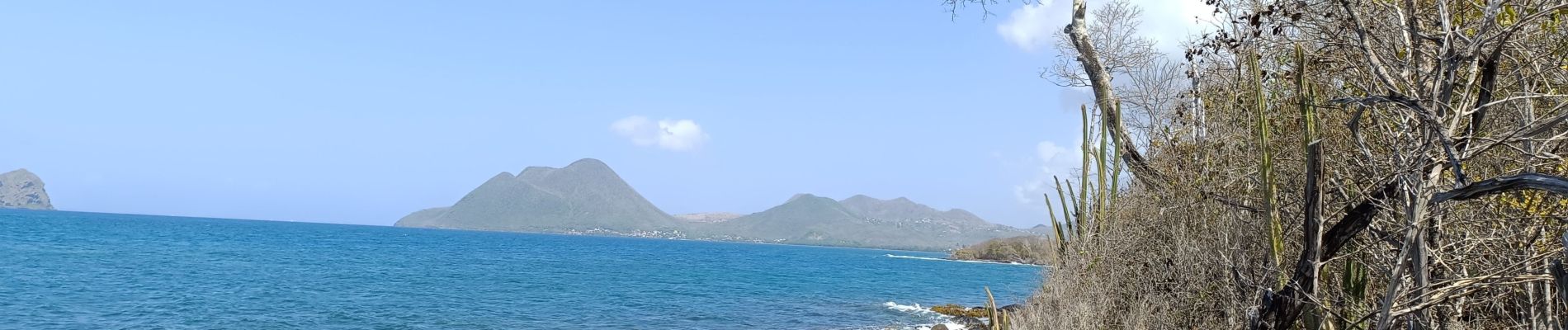
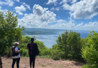
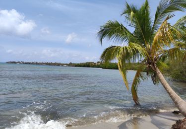
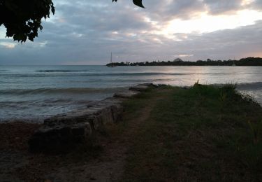
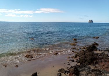
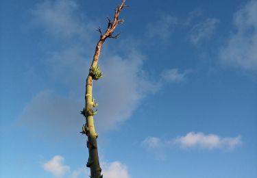
Randonnées du dimanche, visite de la mangrove rose.


24 fotos in totaal. Klik op een foto om ze allemaal in de galerij weer te geven.
Stappen
Stappen
Stappen
Stappen
Stappen
Stappen
Stappen
Stappen
Stappen