


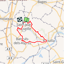

6,7 km | 7,5 km-effort


Gebruiker


Gratisgps-wandelapplicatie
 SityTrail
IGN / Geografische instituten
SityTrail World
De wereld gaat voor u open
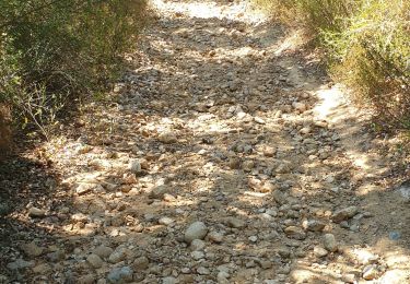
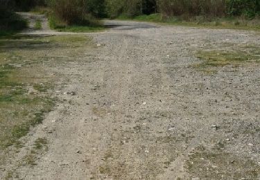
Tocht Stappen van 12,2 km beschikbaar op Occitanië, Pyrénées-Orientales, Saint-Jean-Lasseille. Deze tocht wordt voorgesteld door jeff66.
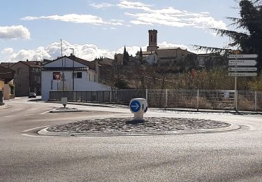
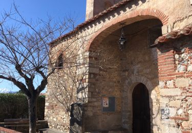
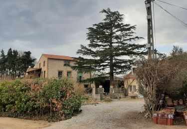
ST-JEAN-LASSEILLE 66 - chateau Montana - par les vignes - Banyuls dels Aspres - église St André - place de la République - cave Coop - vue sur les Albères - Brouilla par la plaine et le vignoble - passages à gué - école - salle polyvalente - cimetière - vue sur brouilla la plaine les Albères - panorama sur Perpignan - chateau Planères - St jean lasseille - cimetière


Stappen

Stappen

Stappen
Stappen
Stappen
Stappen
Stappen
Andere activiteiten

Stappen