


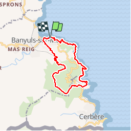


14,5 km | 19,1 km-effort

Gebruiker


Gratisgps-wandelapplicatie
 SityTrail
IGN / Geografische instituten
SityTrail World
De wereld gaat voor u open
Tocht Stappen van 15,1 km beschikbaar op Occitanië, Pyrénées-Orientales, Banyuls-sur-Mer. Deze tocht wordt voorgesteld door jeff66.
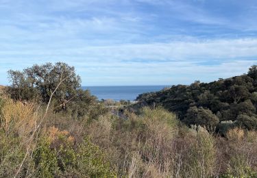
BANYULS- SUR-MER 66 - Thalacap - Sentier littoral - plage et cap du troc - cap de la VELLA - plage de taillelauque - cap Rederis - Punta d'en Cames - plage de Peyrefite - col de la Creu - Col de grand Bau -


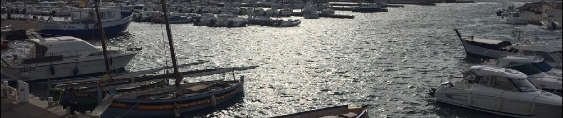
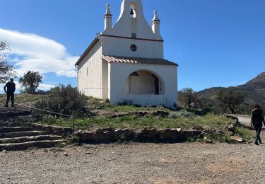
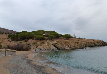
35 fotos in totaal. Klik op een foto om ze allemaal in de galerij weer te geven.

Stappen

Stappen

Stappen

Stappen

Stappen
Stappen
Stappen
Stappen
Stappen
rando trop ancienne le chemin du retour qui part de la route est totalement fermé par la végétation par ronces et piquants ,on est remonté jusqu au col en longeant la route ,pas top ,puis retour par le littoral