


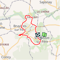


10,1 km | 12,6 km-effort

Gebruiker


Gratisgps-wandelapplicatie
 SityTrail
IGN / Geografische instituten
SityTrail World
De wereld gaat voor u open
Tocht Stappen van 10,8 km beschikbaar op Hauts-de-France, Aisne, Villeneuve-sur-Fère. Deze tocht wordt voorgesteld door PatRando.
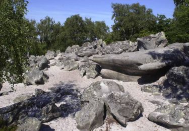
31 Mai 2015 :
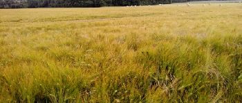
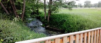
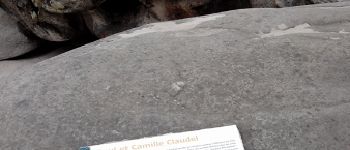
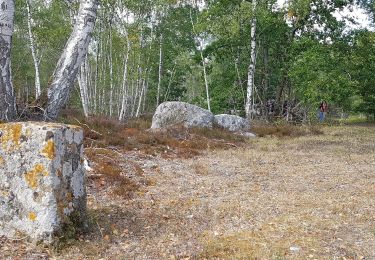
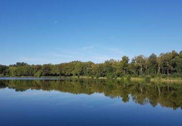
Balade au pays de Claudel. Passage par la Hottée du Diable


Stappen

Stappen
Stappen
Stappen
Stappen
Stappen
Mountainbike
Mountainbike
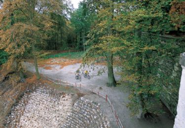
Mountainbike