


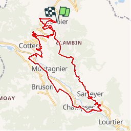


3,3 km | 7,8 km-effort

Gebruiker


Gratisgps-wandelapplicatie
 SityTrail
IGN / Geografische instituten
SityTrail World
De wereld gaat voor u open
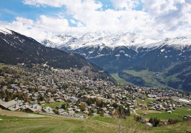
Tocht Mountainbike van 23 km beschikbaar op Valais/Wallis, Entremont, Val de Bagnes. Deze tocht wordt voorgesteld door verbier.
Départ de la Place Centrale de Verbier. Descendre sur le Châble en passant par Médières, Fontenelle et Villette. Remonter en direction de la Vallée en passant par Prarreyer et Champsec et avant d''arriver à Lourtier, prendre le chemin qui conduit à Sarreyer. De là, prendre la route du soleil jusqu''à Verbier-Village et rejoindre la station.


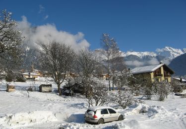
Te voet
Te voet
Te voet
Stappen

Te voet
Te voet

Stappen

Te voet
Te voet