


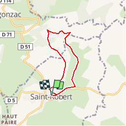


6,4 km | 8,8 km-effort

Gebruiker


Gratisgps-wandelapplicatie
 SityTrail
IGN / Geografische instituten
SityTrail World
De wereld gaat voor u open
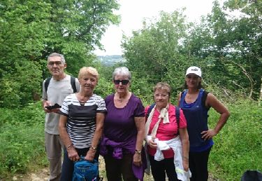
Tocht Stappen van 5,6 km beschikbaar op Nieuw-Aquitanië, Corrèze, Saint-Robert. Deze tocht wordt voorgesteld door houbart.
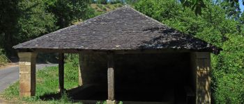
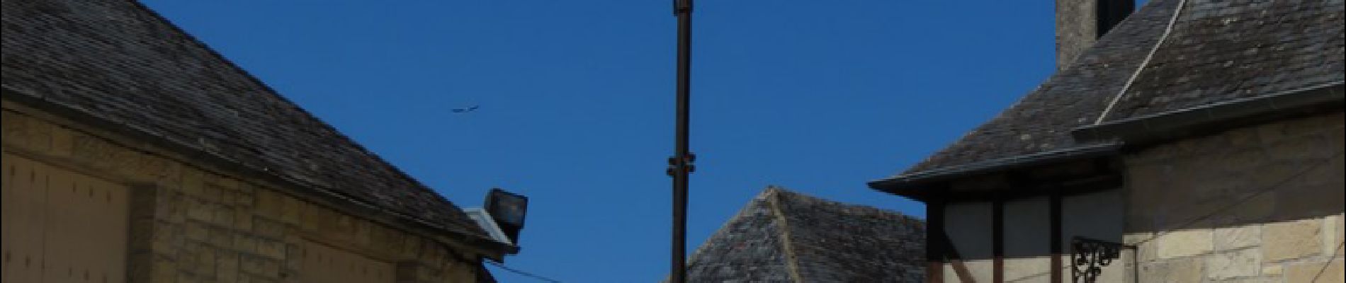
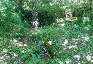
Parking place de l'Eglise . Descendre la Vieille rue pour rejoindre le départ (balisage bleu). En chemin, un lavoir et un bassin alimentés par une source. Sur la place de l'église, une croix en fer forgé du XVe qui comporte les six attributs de la Passion.


Stappen

Stappen

Stappen
Stappen
Stappen
Stappen

Stappen

Stappen
Stappen
Correcte informatie en gebruiksvriendelijke app.