


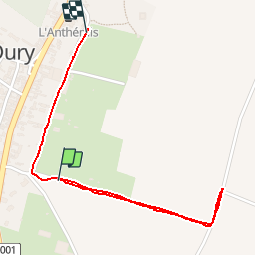


12,2 km | 13,8 km-effort


Gebruiker


Gratisgps-wandelapplicatie
 SityTrail
IGN / Geografische instituten
SityTrail World
De wereld gaat voor u open
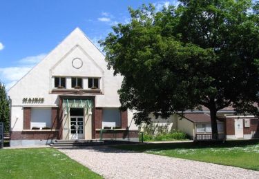
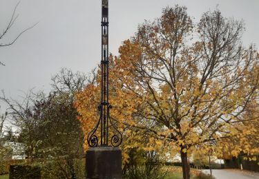
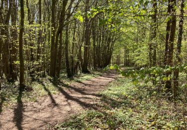
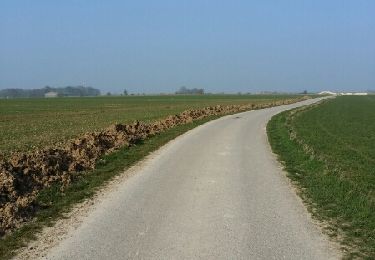
Tocht Stappen van 1,8 km beschikbaar op Hauts-de-France, Somme, Dury. Deze tocht wordt voorgesteld door potheron.

Stappen

Mountainbike
Te voet

Stappen
Stappen
Stappen
Stappen
Stappen
Stappen