Tocht Stappen Bages - BAGES 66 - autour du Moulin à Vent - Photo

BAGES 66 - autour du Moulin à Vent

 jeff66
jeff66

Gebruiker

© OpenStreetMap contributors
Lengte
Lengte
5,8 km
Max. hoogte
Max. hoogte
83 m
Positief hoogteverschil
71 m
Km-Effort
Km-Effort  
6,7 km
Min. hoogte
Min. hoogte
17 m
Negatief hoogteverschil
72 m
Boucle
Boucle
Ja
Datum van aanmaak :
2015-07-17 00:00:00.0
Laatste wijziging :
2015-07-17 00:00:00.0

(3 Bericht)

Stappen
Stappen
1h01
Moeilijkheid : Gemakkelijk

Scan deze QR-code om de tocht te openen in de SityTrail-applicatie

Gratisgps-wandelapplicatie

Logo SityTrail SityTrail

IGN / Geografische instituten

SityTrail uit de App Store downloaden SityTrail uit Google Play downloaden

Logo SityTrail SityTrail Plus

De wereld gaat voor u open

SityTrail uit de App Store downloaden SityTrail uit Google Play downloaden SityTrail op Huawei AppGallery downloaden

Over ons

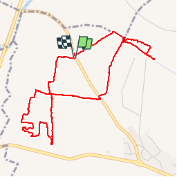
Tocht Stappen van 5,8 km beschikbaar op Occitanië, Pyrénées-Orientales, Bages. Deze tocht wordt voorgesteld door jeff66.

Beschrijving

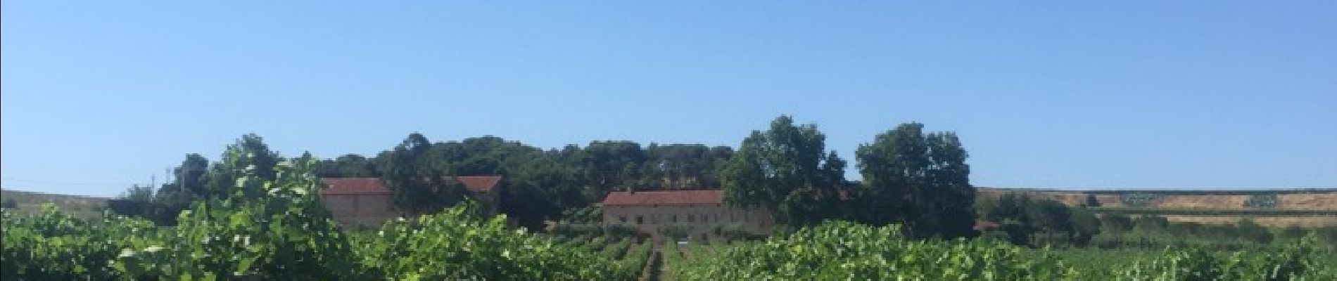
BAGES 66 - RD 49 - panorama sur Villeneuve de la raho le lac lac la plaine BAGES les alberes - moulin à vent ruines - les arbres blancs - les corboses - poste gaz - sud wines traders - vignoble du mas Nou - club canin SCPC - mas NOU

Hoogteprofiel

Foto's

Plaatsbepaling

Land:
France
Regio :
Occitanië
Departement/Provincie :
Pyrénées-Orientales
Gemeente :
Bages
Locatie:
Unknown
Vertrek:(Dec)
Vertrek:(UTM)
489660 ; 4718284 (31T) N.

Opmerkingen

Gelieve in te loggen om een commentaar of een beoordeling achter te laten


Sluiten
Mijn abonnementen