


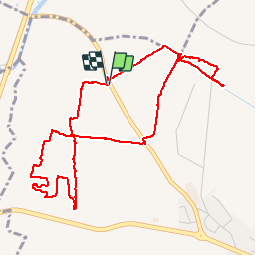


6,7 km | 7,5 km-effort

Gebruiker


Gratisgps-wandelapplicatie
 SityTrail
IGN / Geografische instituten
SityTrail World
De wereld gaat voor u open
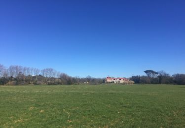
Tocht Stappen van 5,8 km beschikbaar op Occitanië, Pyrénées-Orientales, Bages. Deze tocht wordt voorgesteld door jeff66.
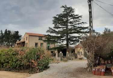
BAGES 66 - RD 49 - panorama sur Villeneuve de la raho le lac lac la plaine BAGES les alberes - moulin à vent ruines - les arbres blancs - les corboses - poste gaz - sud wines traders - vignoble du mas Nou - club canin SCPC - mas NOU


Stappen

Stappen

Stappen

Mountainbike
Stappen
Stappen
Stappen

Stappen
Stappen