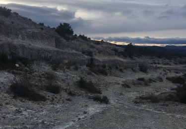
14 km | 16,9 km-effort
Sommieres les plantiers
djay30250
Gebruiker
Lengte
97 km
Max. hoogte
850 m
Positief hoogteverschil
2135 m
Km-Effort
124 km
Min. hoogte
27 m
Negatief hoogteverschil
1753 m
Boucle
Neen
Datum van aanmaak :
2015-07-21 00:00:00.0
Laatste wijziging :
2015-07-21 00:00:00.0
7h04
Moeilijkheid : Moeilijk
Gratisgps-wandelapplicatie
Over ons
Tocht Fiets van 97 km beschikbaar op Occitanië, Gard, Sommières. Deze tocht wordt voorgesteld door djay30250.
Plaatsbepaling
Land:
France
Regio :
Occitanië
Departement/Provincie :
Gard
Gemeente :
Sommières
Locatie:
Unknown
Vertrek:(Dec)
Vertrek:(UTM)
587379 ; 4848151 (31T) N.
Opmerkingen
Wandeltochten in de omgeving
SOMMIERES 30 - VILLEVIEILLE châteaux- JUNAS les carrières
Stappen
Medium
(2)
Sommières,
Occitanië,
Gard,
France
2h 34min
Ja
Saussines
Stappen
Heel gemakkelijk
(1)
Saussines,
Occitanië,
Hérault,
France
13,3 km | 14,9 km-effort
4h 13min
Ja
Entre Junas et Aujargues
Stappen
Gemakkelijk
Junas,
Occitanië,
Gard,
France
7,9 km | 9,4 km-effort
2h 2min
Ja
Autour de Villevielle 30
Stappen
Gemakkelijk
(2)
Sommières,
Occitanië,
Gard,
France
10,5 km | 12,3 km-effort
3h 0min
Ja
Boucle de la Vidourle
Elektrische fiets
Gemakkelijk
Junas,
Occitanië,
Gard,
France
38 km | 43 km-effort
2h 33min
Ja
Saint Étienne d’Escattes
Stappen
Zeer moeilijk
Souvignargues,
Occitanië,
Gard,
France
16,9 km | 22 km-effort
4h 58min
Ja
salinelles-pondres-souvignargues-fontanes
Stappen
Medium
Salinelles,
Occitanië,
Gard,
France
14,7 km | 17,2 km-effort
4h 14min
Ja
Les matches de géants
Stappen
Gemakkelijk
Sommières,
Occitanië,
Gard,
France
48 km | 67 km-effort
3h 29min
Neen
Enfin une appli avec des cartes dignes de ce nom. La fonction offline et performante et peu gourmande en énergie. Must have pour les randonneurs quel que soit le moyen de déplacement.