Tocht Stappen Ivors - en forêt de Retz_38_Ivors_le buisson de Walligny_AR - Photo

en forêt de Retz_38_Ivors_le buisson de Walligny_AR

forêts de France

© OpenStreetMap contributors
Lengte
Lengte
16,2 km
Max. hoogte
Max. hoogte
153 m
Positief hoogteverschil
211 m
Km-Effort
Km-Effort  
19 km
Min. hoogte
Min. hoogte
98 m
Negatief hoogteverschil
211 m
Boucle
Boucle
Ja
Datum van aanmaak :
2018-12-11 06:37:30.442
Laatste wijziging :
2020-11-08 11:15:48.199

(0 Bericht)

Stappen
Stappen
4h52
Moeilijkheid : Zeer moeilijk

Scan deze QR-code om de tocht te openen in de SityTrail-applicatie

Gratisgps-wandelapplicatie

Logo SityTrail SityTrail

IGN / Geografische instituten

SityTrail uit de App Store downloaden SityTrail uit Google Play downloaden

Logo SityTrail SityTrail World

De wereld gaat voor u open

SityTrail uit de App Store downloaden SityTrail uit Google Play downloaden SityTrail op Huawei AppGallery downloaden

Over ons

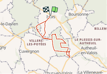
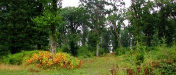
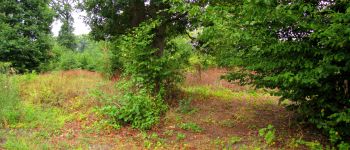
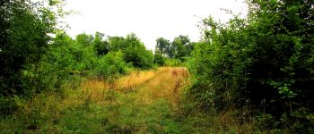
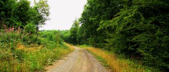
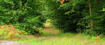
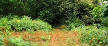
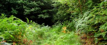
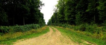
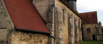
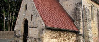
Tocht Stappen van 16,2 km beschikbaar op Hauts-de-France, Oise, Ivors. Deze tocht wordt voorgesteld door en forêt de Retz.

Beschrijving

voir aussi:
http://foret-de-retz.over-blog.com/

08/2015

fortement déconseillé par forêt trempée.

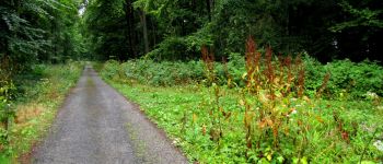
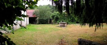
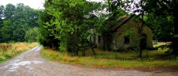
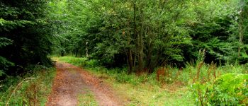
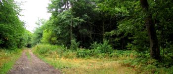
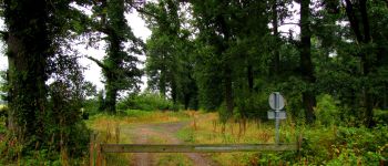
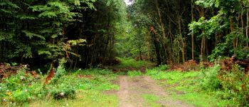
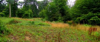
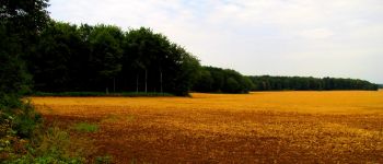
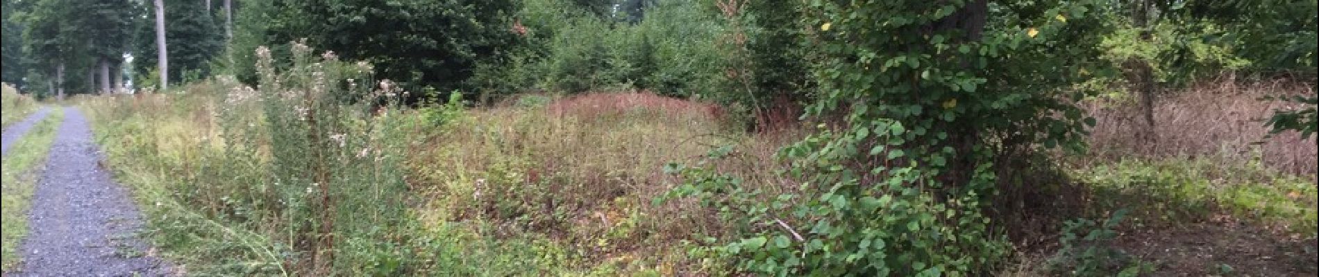
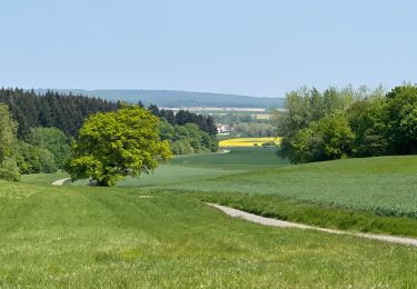
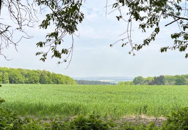
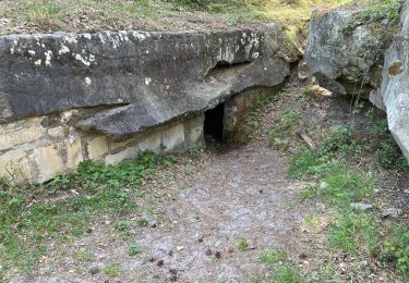
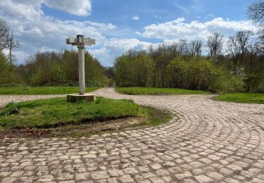
En partant d'Ivors, suivre la D51 et prendre à gauche en longeant un champ en bordure de forêt. Retrouver la route des Quatorze Frères, continuer sur la route de Walligny jusqu'au carrefour de Walligny. Prendre à droite le chemin qui longe le champ de la ferme La Tournelle puis récupérer à gauche la laie de l'Hermitage. La suivre jusqu'au carrefour de l'Ermite. Prendre à droite jusqu'à la D18 puis revenir en "suivant" la laie de la Queue Madame (très difficile car pas visible et facile de se perdre). Environ 500 mètres plus loin prendre à gauche pour revenir au carrefour de l'Ermite. Puis prendre à droite un chemin environ 400 mètres et tourner à gauche pour suivre la laie de Saint André jusqu'au carrefour qui croise avec la laie de Saint Valdaine. La suivre jusqu'au carrefour de La Montagne. Prendre à droite la route de La Tournelle, passer le carrefour du Fournet (difficile car pas visible) puis prendre à gauche au carrefour suivant. Trouver et suivre la laie de la Genévrière jusqu'au carrefour qui croise avec la laie de Walligny. Prendre à droite et suivre la route de Thury jusqu'au carrefour de la Genevroye. Prendre à gauche la laie de la Genevroye jusqu'au carrefour des Ornières (très difficile même par temps sec). Prendre à gauche le chemin qui mène au carrefour de Walligny puis la route de Walligny. Prendre à droite le chemin goudronné qui va de Villers-Les-Potées à Ivors.

Hoogteprofiel

Foto's

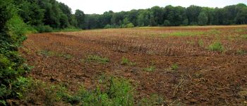
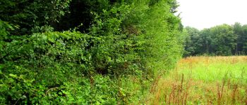
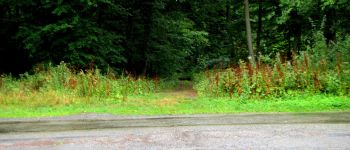
71 fotos in totaal. Klik op een foto om ze allemaal in de galerij weer te geven.

POI's

POI Coyolles - Point 2 - Photo
JeanLucA4
COYOLLES 
POI Coyolles - Point 3 - Photo
JeanLucA4
COYOLLES 
POI Coyolles - Point 4 - Photo
JeanLucA4
COYOLLES 
POI Coyolles - Point 5 - Photo
JeanLucA4
COYOLLES 
POI Ivors - Point 6 - Photo
JeanLucA4
IVORS 
POI Coyolles - Point 7 - Photo
JeanLucA4
COYOLLES 
POI Coyolles - Point 8 - Photo
JeanLucA4
COYOLLES 
POI Coyolles - Point 9 - Photo
JeanLucA4
COYOLLES 
POI Coyolles - Point 10 - Photo
JeanLucA4
COYOLLES 
POI Coyolles - Point 11 - Photo
JeanLucA4
COYOLLES 
POI Coyolles - Point 12 - Photo
JeanLucA4
COYOLLES 
POI Coyolles - Point 13 - Photo
JeanLucA4
COYOLLES 
POI Coyolles - Point 14 - Photo
JeanLucA4
COYOLLES 
POI Coyolles - Point 15 - Photo
JeanLucA4
COYOLLES 
POI Coyolles - Unnamed POI - Photo
JeanLucA4
COYOLLES 
POI Coyolles - Unnamed POI - Photo
JeanLucA4
COYOLLES 
POI Coyolles - Point 18 - Photo
JeanLucA4
COYOLLES 
POI Coyolles - Point 21 - Photo
JeanLucA4
COYOLLES 
POI Coyolles - Point 22 - Photo
JeanLucA4
COYOLLES 
POI Coyolles - Point 23 - Photo
JeanLucA4
COYOLLES 
POI Coyolles - Point 24 - Photo
JeanLucA4
COYOLLES 
POI Coyolles - Unnamed POI - Photo
JeanLucA4
COYOLLES 
POI Coyolles - Point 26 - Photo
JeanLucA4
COYOLLES 
POI Coyolles - Point 27 - Photo
JeanLucA4
COYOLLES 
POI Coyolles - Point 28 - Photo
JeanLucA4
COYOLLES 
POI Coyolles - Point 29 - Photo
JeanLucA4
COYOLLES 
POI Coyolles - Point 30 - Photo
JeanLucA4
COYOLLES 
POI Coyolles - Point 31 - Photo
JeanLucA4
COYOLLES 
POI Ivors - Point 32 - Photo
JeanLucA4
IVORS 
POI Ivors - Point 1 - Photo
JeanLucA4
IVORS 
POI Ivors - Point 33 - Photo
JeanLucA4
IVORS 

Plaatsbepaling

Land:
France
Regio :
Hauts-de-France
Departement/Provincie :
Oise
Gemeente :
Ivors
Locatie:
Unknown
Vertrek:(Dec)
Vertrek:(UTM)
501096 ; 5449793 (31U) N.

Wandeltochten in de omgeving

Tocht Stappen Ormoy-le-Davien - 140722 - Ormoy le Davien - Etan de Wallu - Photo
Stappen
Vadim

Stappen

Medium
Ormoy-le-Davien, Hauts-de-France, Oise, France
24 km | 29 km-effort
5h 2min
Ja
Tocht Stappen Ormoy-le-Davien - 060722 - Petite rando 10 km - Photo
Stappen
Vadim

Stappen

Ormoy-le-Davien, Hauts-de-France, Oise, France
10,2 km | 12,1 km-effort
1h 53min
Ja
Tocht Mountainbike Ormoy-le-Davien - 130522 - Boucle VTT - Ormoy le davien en passant par le canal de l'Ourc - Photo
Mountainbike
Vadim

Mountainbike

Gemakkelijk
Ormoy-le-Davien, Hauts-de-France, Oise, France
35 km | 40 km-effort
2h 41min
Ja
Tocht Stappen Ormoy-le-Davien - 060522 - Ormoy le Davien - La Ferté Milon - Photo
Stappen
Vadim

Stappen

Moeilijk
Ormoy-le-Davien, Hauts-de-France, Oise, France
32 km | 38 km-effort
6h 42min
Ja
Tocht Stappen Ormoy-le-Davien - 040522 - Boucle Ormoy le Davien - Moulin de Wallu... - Photo
Stappen
Vadim

Stappen

Moeilijk
(1)
Ormoy-le-Davien, Hauts-de-France, Oise, France
25 km | 30 km-effort
4h 51min
Ja
Tocht Stappen Ormoy-le-Davien - 030422 - Direction Vaucienne puis Vaumoise et Cave du diable - Photo
Stappen
Vadim

Stappen

Medium
Ormoy-le-Davien, Hauts-de-France, Oise, France
17 km | 21 km-effort
3h 30min
Ja
Tocht Stappen Ormoy-le-Davien - 290422 - Boucle Ormoy le Davien - au dessus de Chavre - Photo
Stappen
Vadim

Stappen

Gemakkelijk
Ormoy-le-Davien, Hauts-de-France, Oise, France
12,9 km | 15,3 km-effort
2h 25min
Ja
Tocht Stappen Ormoy-le-Davien - Ormoy - Cave du diable  - Photo
Stappen
Vadim

Stappen

Gemakkelijk
Ormoy-le-Davien, Hauts-de-France, Oise, France
13,6 km | 16 km-effort
2h 29min
Ja
Tocht Stappen Ormoy-le-Davien - Boucle départ Ormoy le Davien 60620 - Foret de Retz - Photo
Stappen
Vadim

Stappen

Heel gemakkelijk
Ormoy-le-Davien, Hauts-de-France, Oise, France
10,4 km | 12,3 km-effort
2h 6min
Ja


Sluiten
Mijn abonnementen