


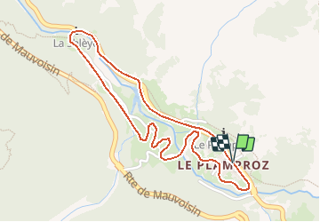


4,3 km | 23 km-effort


Gebruiker


Gratisgps-wandelapplicatie
 SityTrail
IGN / Geografische instituten
SityTrail World
De wereld gaat voor u open
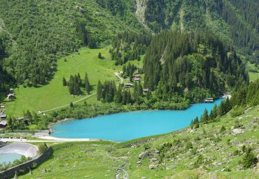
Tocht Wintersport van 2,4 km beschikbaar op Valais/Wallis, Entremont, Val de Bagnes. Deze tocht wordt voorgesteld door verbier.
Te voet
Te voet
Te voet
Te voet
Te voet
Te voet
Stappen

Te voet
Te voet