


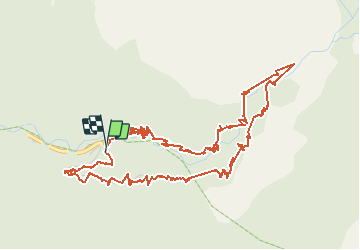


13,3 km | 20 km-effort

Gebruiker


Gratisgps-wandelapplicatie
 SityTrail
IGN / Geografische instituten
SityTrail World
De wereld gaat voor u open
Tocht Stappen van 7,6 km beschikbaar op Provence-Alpes-Côte d'Azur, Alpes-Maritimes, Saint-Martin-Vésubie. Deze tocht wordt voorgesteld door Dervalmarc.
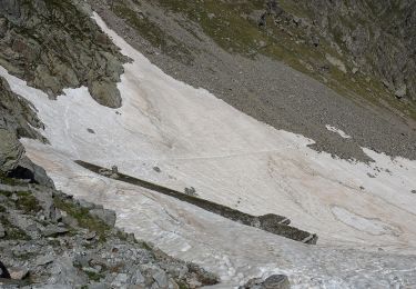
Attention a ceux qui prévoient le circuit avec retour par le refuge Saladin le pont pour retraverser et rejoindre le parking a la balise 419 a été détruit et non reconstruit et oblige a traverser le torrent qui peut selon la saison présenter un véritable danger au printemps ou après de fortes pluies
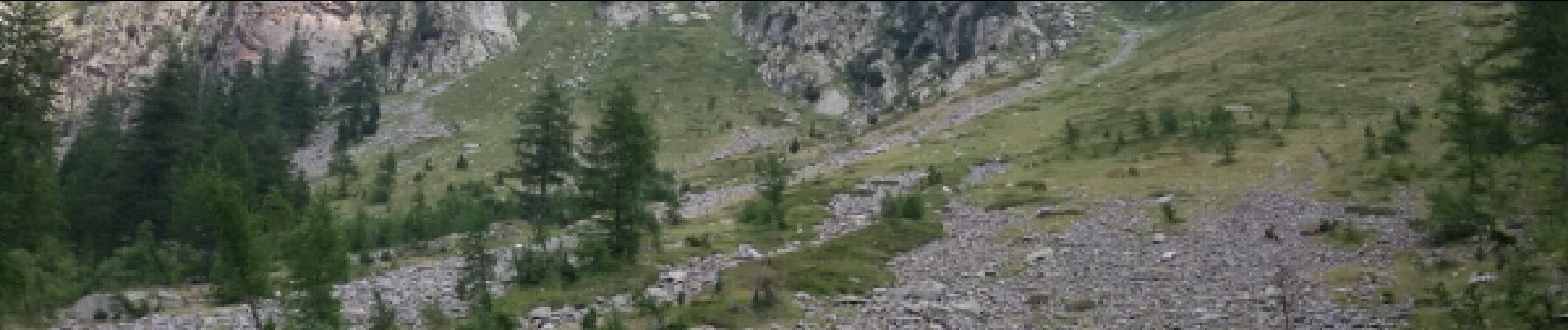
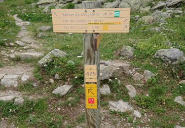
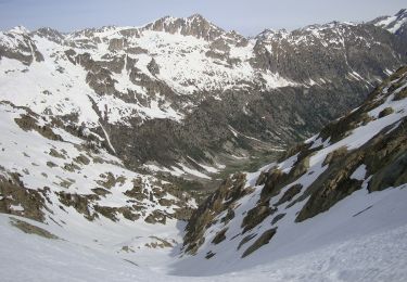
 - Photo 1")
 - Photo 2")
 - Photo 3")
 - Photo 4")
 - Photo 5")
 - Photo 6")

Stappen
Stappen

Stappen
Te voet
Te voet
Te voet
Te voet

Stappen

Stappen