


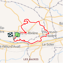


6,7 km | 11,4 km-effort

Gebruiker


Gratisgps-wandelapplicatie
 SityTrail
IGN / Geografische instituten
SityTrail World
De wereld gaat voor u open
Tocht Stappen van 15,9 km beschikbaar op Occitanië, Pyrénées-Orientales, Pézilla-la-Rivière. Deze tocht wordt voorgesteld door jeff66.
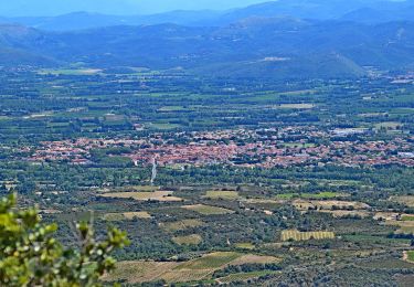
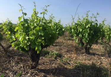
66 PEZILLA-la-Riviere - parking à proximité de la RD16a, promenade entre les serres, stade Louis Blad, chemin de saint Feliu, rue de la serre Montèze, av. de la république, place de la nation, rue portal d'amont, passage sur RD614, route d'Estagel, centre de secours, boulodrome, ancien moulin à eau, entrepôt Camilor, mas conte, le vigné, après la ligne de crête plateau surplombant la vallée de la TÊT avec panorama à 360 degrés - ravin des Gourgues - emprunter la RD614. Au mas Blanes, prendre à gauche la piste bordée de platanes - la Blanère - suivre correc de les Gorges - VILLENEUVE-la-riviere, complexe sportif, Cami. Dels Alous, RD1a, rue de l'hôtel de ville. Espace jean Noé, rue des Caves, RD1, mairie, rosaire, Poney club, rue des mûriers, écuries - route entre les serres - LE SOLER, traverser la RD39, vers réserves ornithologique - chemin en sous bois le long de la TÊT - le grand Riberal, le Riberal, Les Gourgues


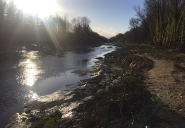
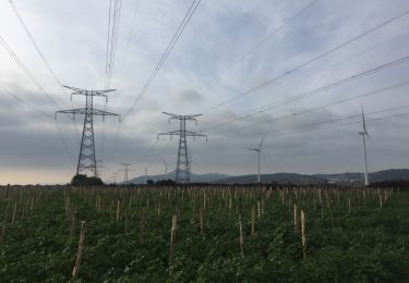
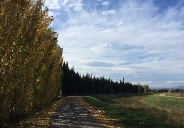
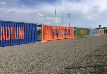
23 fotos in totaal. Klik op een foto om ze allemaal in de galerij weer te geven.
Te voet
Stappen

Lopen
Stappen
Stappen

Stappen
Stappen
Stappen
Stappen