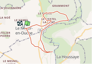

10,3 km | 11,9 km-effort


Gebruiker


Gratisgps-wandelapplicatie
 SityTrail
IGN / Geografische instituten
SityTrail World
De wereld gaat voor u open
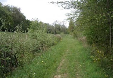
Tocht Stappen van 8,7 km beschikbaar op Normandië, Eure, Le Noyer-en-Ouche. Deze tocht wordt voorgesteld door dominiquelaudou.
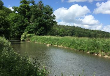
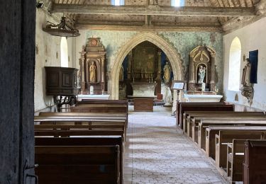
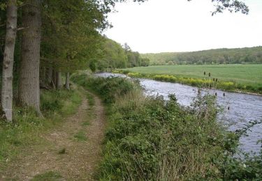
le moulin chapelle,
les bois de grammont

Stappen
Stappen

Stappen

Stappen
Mountainbike
Stappen

Stappen