


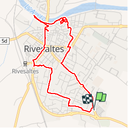

11,1 km | 11,6 km-effort

Gebruiker


Gratisgps-wandelapplicatie
 SityTrail
IGN / Geografische instituten
SityTrail World
De wereld gaat voor u open
Tocht Stappen van 5,2 km beschikbaar op Occitanië, Pyrénées-Orientales, Rivesaltes. Deze tocht wordt voorgesteld door jeff66.
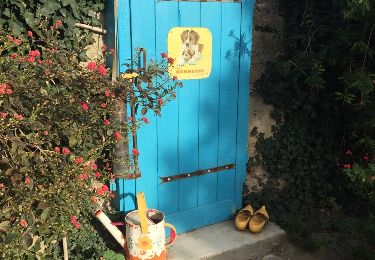
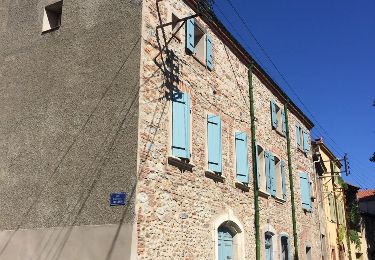
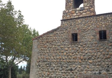
66 RIVESALTES, av. de la Marne, de Ste Marie, rue du Dr E. Parés - de Belfort - Michelet - Scribe - Mal Lyautey - Joly Frigola - de la rivière, place Mailly, rues du clocher - A.Barbes, église, rues du four, place de l'Abbe Berges, pont Jacquet, quai de l'Agly, rue du moulin, av.L. Blanc, rues Pasteur - Monge - Lavoisier - Van Gogh - du Maine - d'Anjou - du Limousin - du Lot


Stappen

Stappen
Mountainbike
Stappen
Stappen
Stappen
Stappen
Stappen
Stappen