


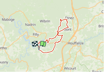


13,4 km | 18,8 km-effort

Randonnez sur et autour des GR ® wallons (Sentiers de Grande Randonnée). PRO


Gratisgps-wandelapplicatie
 SityTrail
IGN / Geografische instituten
SityTrail World
De wereld gaat voor u open
Tocht Stappen van 25 km beschikbaar op Wallonië, Luxemburg, Houffalize. Deze tocht wordt voorgesteld door GR Rando.
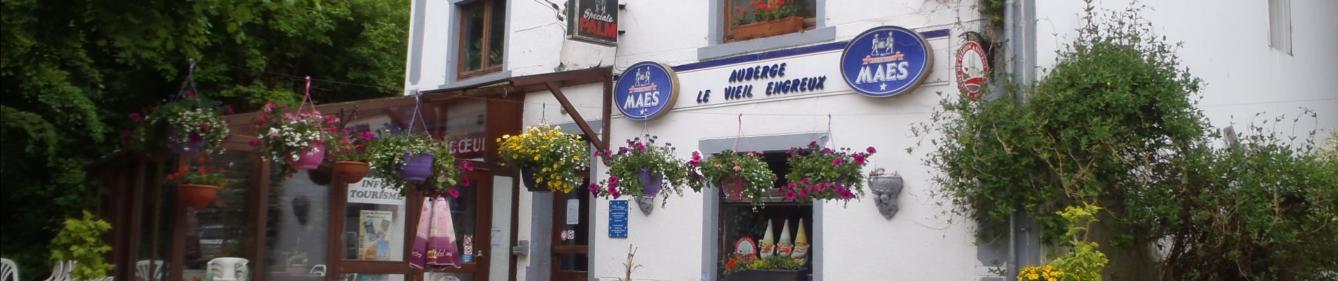
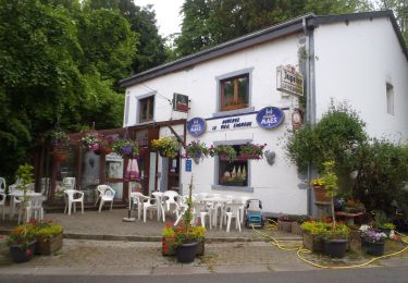
Point de départ : « Le Vieil Engreux » à Engreux, face à l’église (parking).
Coordonnées GPS : 50° 07' 16.1" N ; 5° 42' 04.3" E.
Accès voiture : depuis la E25, prendre la sortie n° 52 « Mabompré », puis successivement la N847 et la N826 en direction de Libramont. En quittant Mabompré, suivre la direction d’Engreux.
Transports en commun TEC : arrêt « Engreux-Église ».
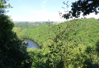
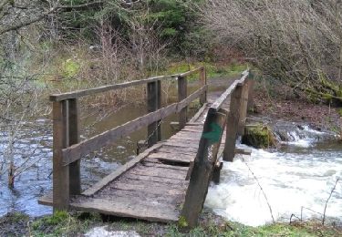
Cette RB, exigeante autant que surprenante, vous invite à sillonner la vallée de l’Ourthe, rivière tortueuse, et de certains de ses affluents, alternativement au plus près de l’eau et sur les plateaux. En forme de double huit


Stappen

Stappen
Stappen

Stappen
Stappen

Stappen
Stappen
Stappen

Stappen
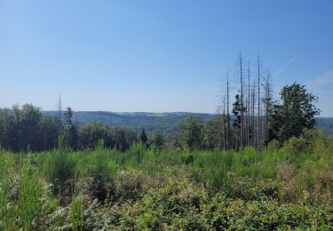
très beau parcours